Utah
Mount Timpanogos
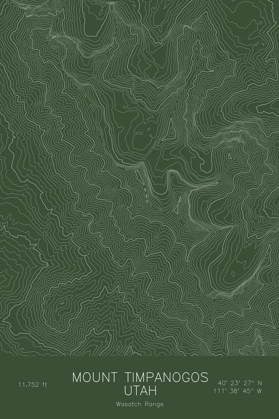
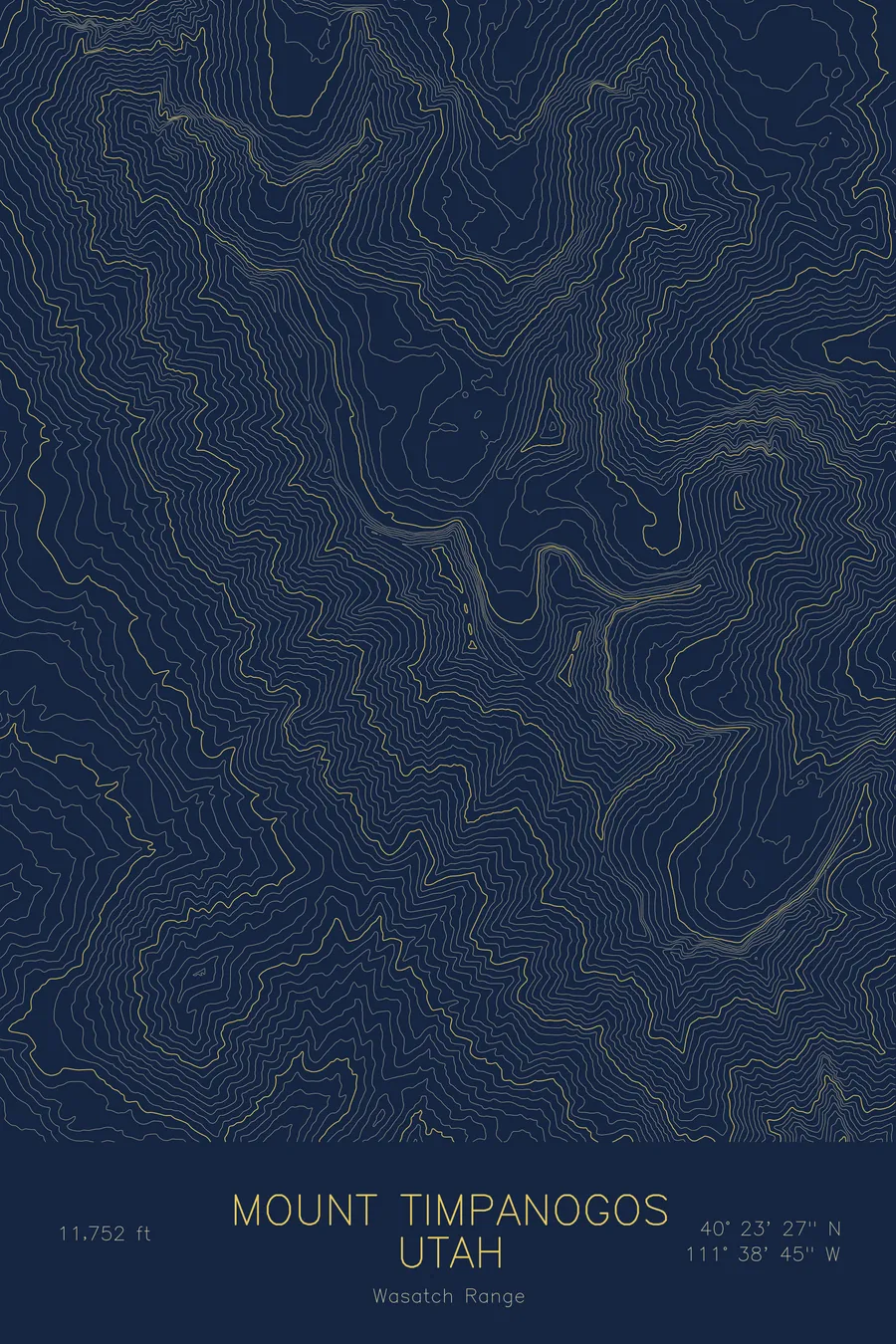
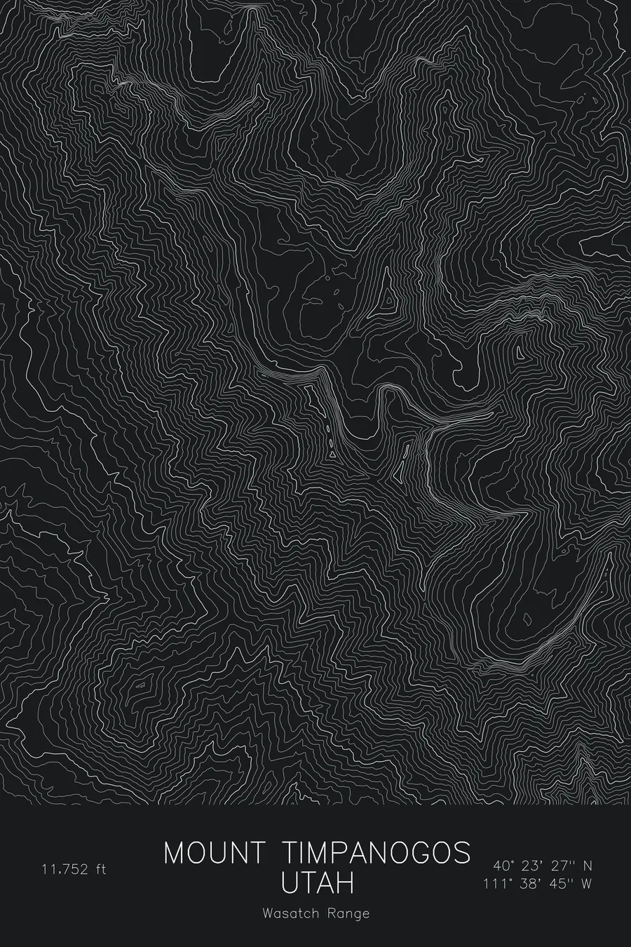
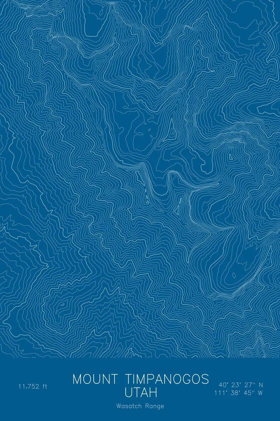
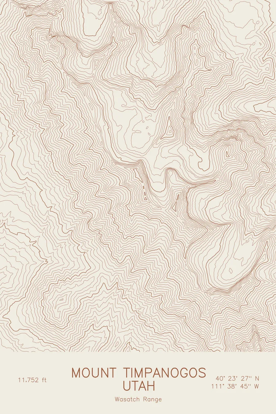
A pen-plotted topographic map of Mount Timpanogos in the Wasatch Range, Utah, drawn from real elevation contour data.
Second-highest Wasatch peak, iconic Utah County landmark and hike. 11,752 feet above sea level.
$54
Ink & paper: Blue
Size: 12×18"
+Personalize this map
+ Details
- 12 × 18 inches
- Drawn on 98 lb (160 gsm) archival cotton paper
- Precision technical pens and archival inks
- Signed and dated on the back
- Ships flat, protected, ready to frame
Each map begins with elevation data and is drawn by a pen plotter in our Vermont studio. Mechanical precision, plus the texture and small imperfections of real ink on paper.
Off the screen
In real rooms



















+ About this map
Mount Timpanogos rises to 11,752 feet in Utah’s Wasatch Range, the second-highest peak in the range and the mountain that dominates the skyline of Provo, Orem, and the whole of Utah Valley. Its long summit ridge runs north to south for several miles, and the west face climbs more than a vertical mile above the valley floor. The Timpooneke and Aspen Grove trails to the summit are among the most popular hikes in the state, passing Emerald Lake and the snowfield known as the Timpanogos Glacier below the summit.
This map traces the massive ridge and the cirques carved into its eastern side. The contour lines run in dense parallel bands down the west face toward the valley, while the east side is broken into a series of high glacial basins, each held by tight headwalls and opening toward the American Fork and Provo canyons. The summit sits at the high point of the ridge with the terrain falling away steeply in nearly every direction. Within this frame the terrain covers more than 5,400 feet.
+ Map details
- Mount Timpanogos
- Utah
- United States
- Wasatch Range
- Wasatch Range
- 11,752 ft / 3,582 m
- 40.3908N 111.6459W
- Mountain topographic map
- Original pen plot, archival ink on cotton paper
- 8 × 12 in · 12 × 18 in · 18 × 24 in
- Second-highest Wasatch peak, iconic Utah County landmark and hike
More maps