Oregon
Mount Jefferson
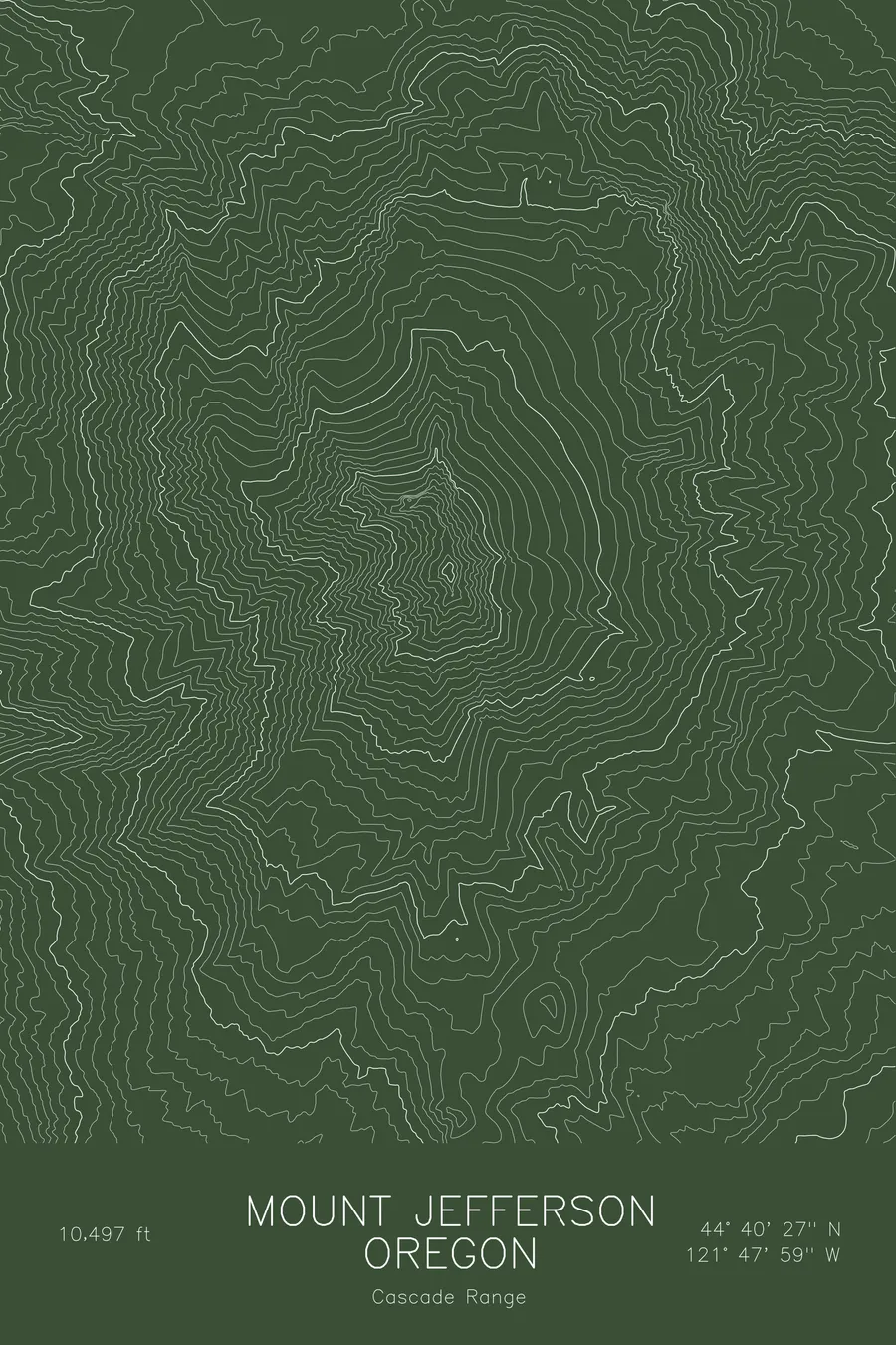
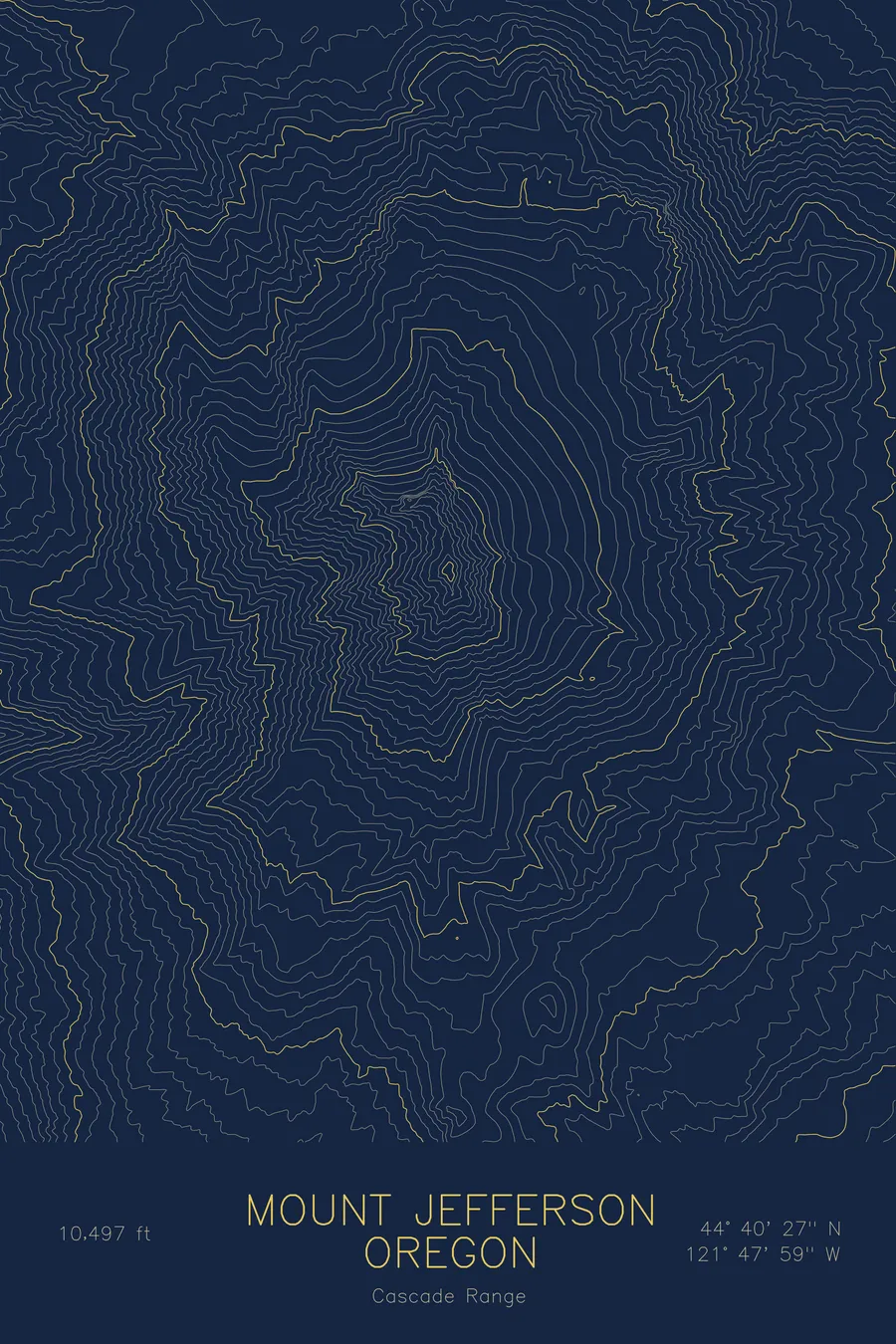
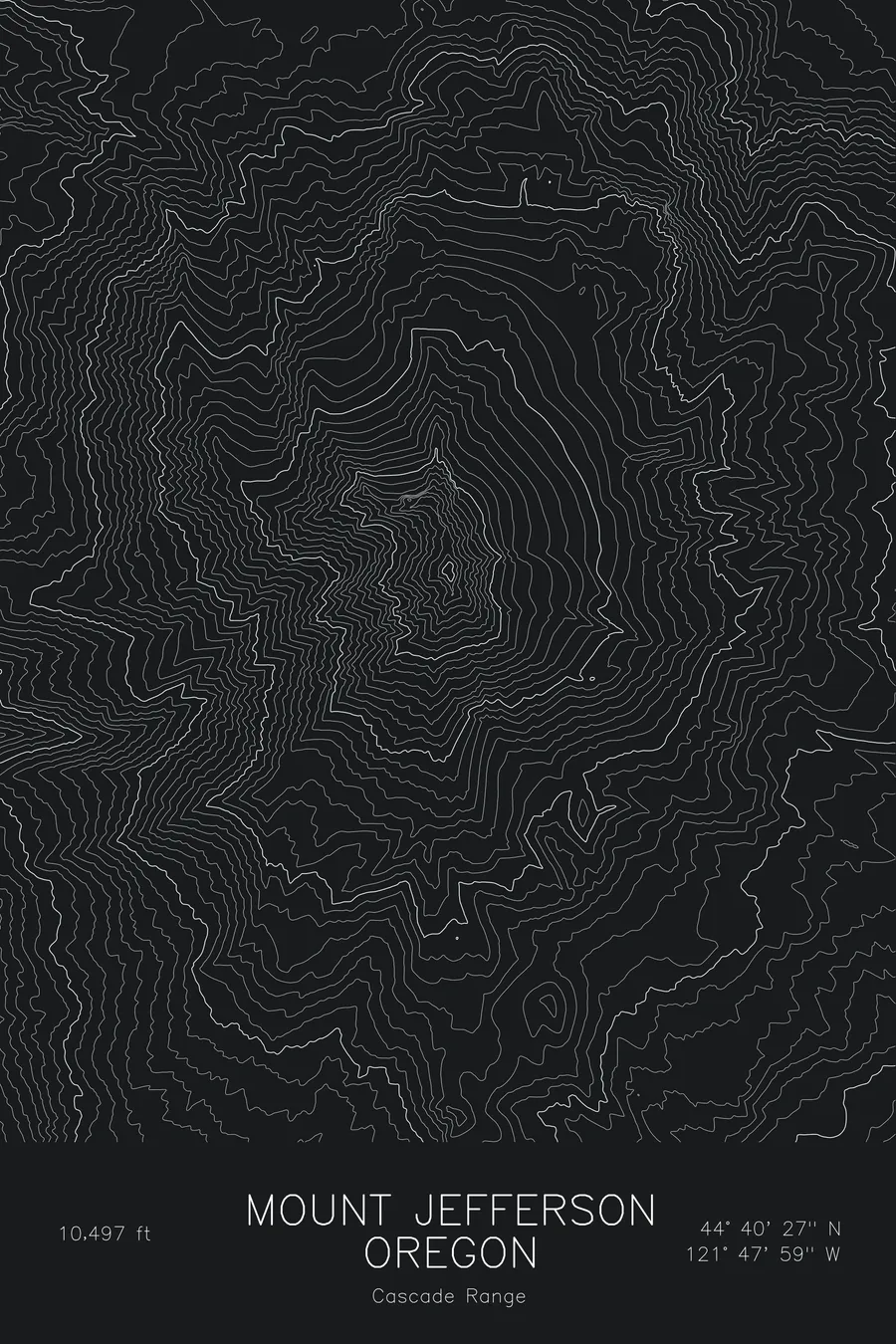
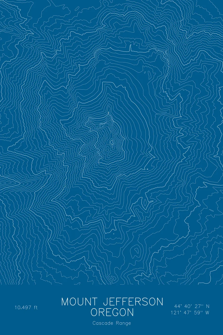
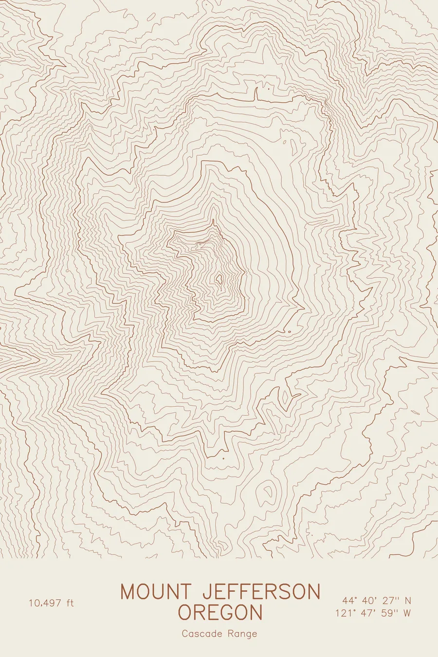
A pen-plotted topographic map of Mount Jefferson in the Cascade Range, Oregon, drawn from real elevation contour data.
Second-highest mountain in Oregon, Cascade stratovolcano. 10,497 feet above sea level.
$54
Ink & paper: Blue
Size: 12×18"
+Personalize this map
+ Details
- 12 × 18 inches
- Drawn on 98 lb (160 gsm) archival cotton paper
- Precision technical pens and archival inks
- Signed and dated on the back
- Ships flat, protected, ready to frame
Each map begins with elevation data and is drawn by a pen plotter in our Vermont studio. Mechanical precision, plus the texture and small imperfections of real ink on paper.
Off the screen
In real rooms



















+ About this map
Mount Jefferson rises to 10,497 feet in the Oregon Cascades, the second-highest mountain in the state and one of its most remote. It is a stratovolcano with a sharp, eroded summit pinnacle, ringed by glaciers, and surrounded by the Mount Jefferson Wilderness, so that no road approaches within several miles. Jefferson Park, the meadow and lake basin on its north side, is one of the most visited backcountry destinations in the range.
This map traces the radial pattern of a volcano that has been worn well past its original cone. The contour lines converge on the summit from every direction, but the symmetry is broken by the glacial valleys carved into the flanks: the broad Whitewater Glacier on the east, and the deep cirques on the north and west sides that feed Jefferson Park and the Pamelia Creek drainage. Within this frame the terrain drops more than 6,000 feet from the summit to the forested valleys below.
+ Map details
- Mount Jefferson
- Oregon
- United States
- Cascade Range
- Cascade Range
- 10,497 ft / 3,199 m
- 44.6743N 121.7996W
- Mountain topographic map
- Original pen plot, archival ink on cotton paper
- 8 × 12 in · 12 × 18 in · 18 × 24 in
- Second-highest mountain in Oregon, Cascade stratovolcano
More maps