Oregon
South Sister
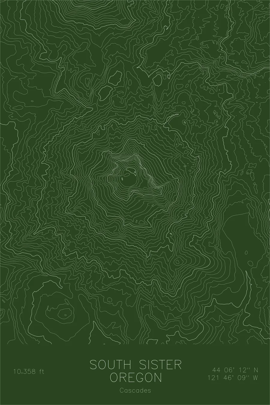
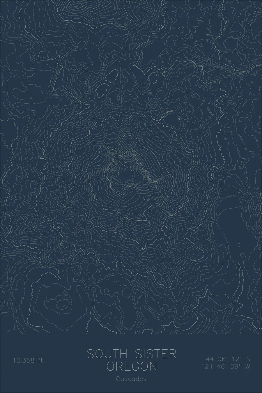
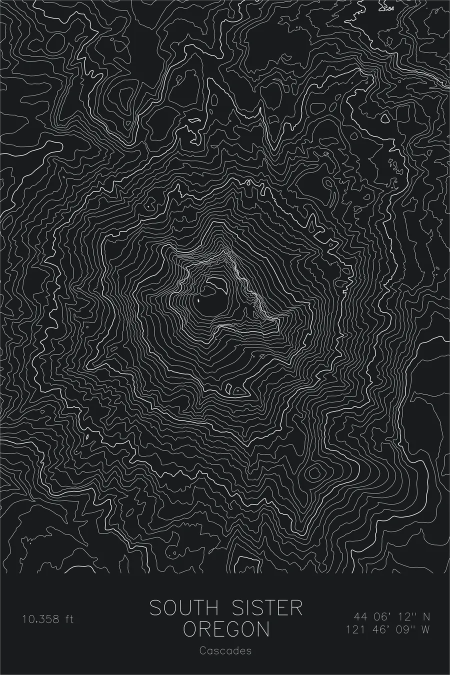
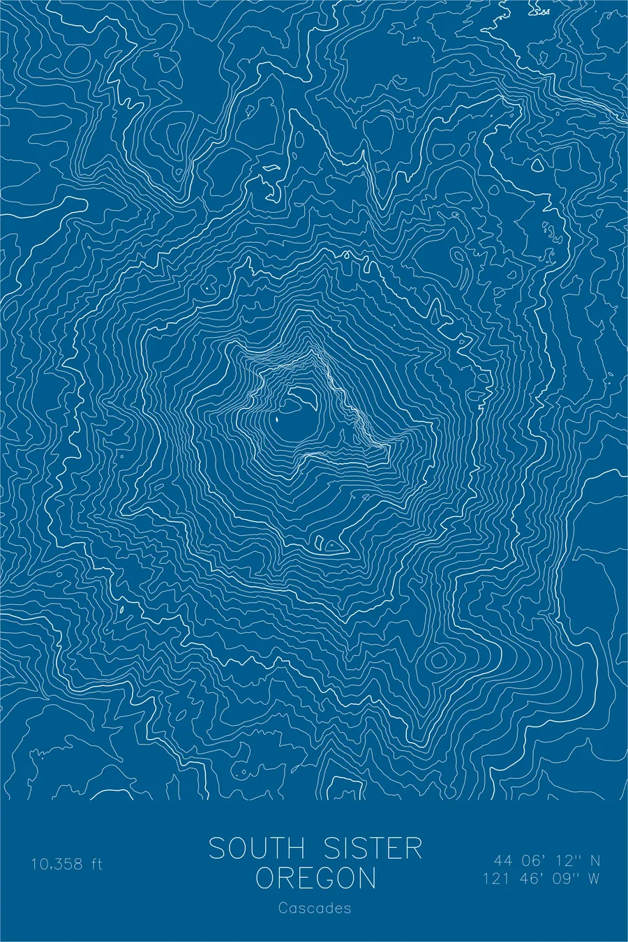
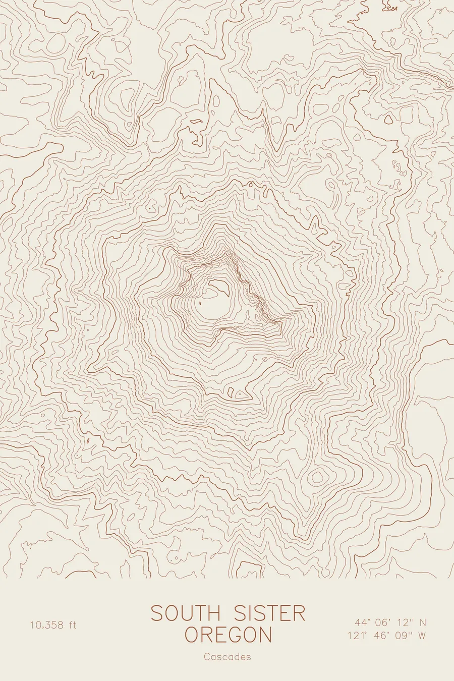
A pen-plotted topographic map of South Sister in the Cascades, Oregon, drawn from real elevation contour data.
Third highest peak in Oregon, most popular Oregon volcano hike. 10,358 feet above sea level.
$54
Ink & paper: Navy
Size: 12×18"
+Personalize this map
+ Details
- 12 × 18 inches
- Drawn on 98 lb (160 gsm) archival cotton paper
- Precision technical pens and archival inks
- Signed and dated on the back
- Ships flat, protected, ready to frame
Each map begins with elevation data and is drawn by a pen plotter in our Vermont studio. Mechanical precision, plus the texture and small imperfections of real ink on paper.
Off the screen
In real rooms



















+ About this map
South Sister rises 10,358 feet in Oregon’s Cascade Range, the third highest peak in the state and the tallest of the Three Sisters. It is the youngest of the three volcanoes and the best preserved, which is why its summit still holds an intact crater. Inside that crater sits Teardrop Pool, often cited as the highest lake in Oregon. The south ridge offers a nontechnical route to the top, making this the most climbed major volcano in the state.
This map shows the classic form of a Cascade stratovolcano. The contour lines circle the summit crater in tight rings, then spread down flanks carved by ice. The lines trace the Prouty Glacier on the northeast side and the Lewis Glacier beside the climbing route, with Moraine Lake sitting in the barrens below. To the north, the terrain rises again toward Middle Sister, and the Green Lakes basin separates the mountain from the shattered rim of Broken Top to the east.
+ Map details
- South Sister
- Oregon
- United States
- Cascades
- Pacific Northwest
- 10,358 ft / 3,157 m
- 44.1033N 121.7692W
- Mountain topographic map
- Original pen plot, archival ink on cotton paper
- 8 × 12 in · 12 × 18 in · 18 × 24 in
- Third highest peak in Oregon, most popular Oregon volcano hike
More maps