Colorado
Pyramid Peak
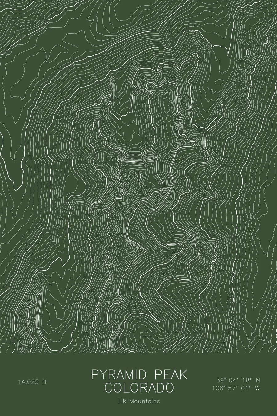
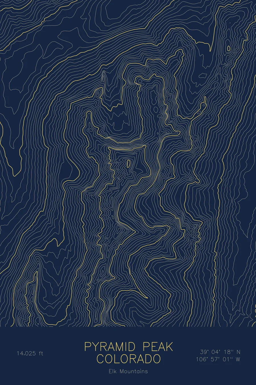
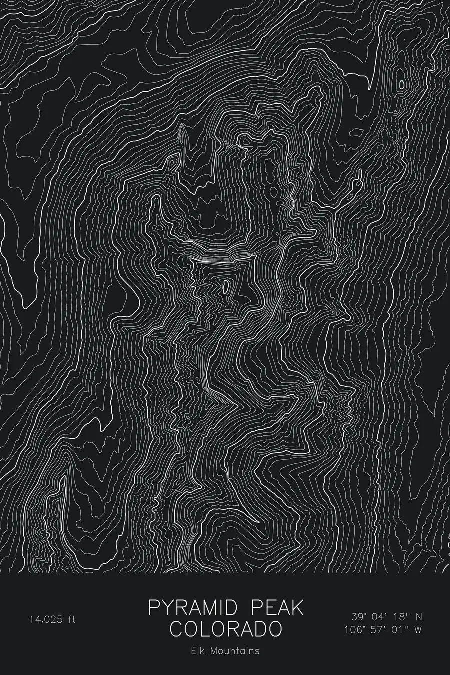
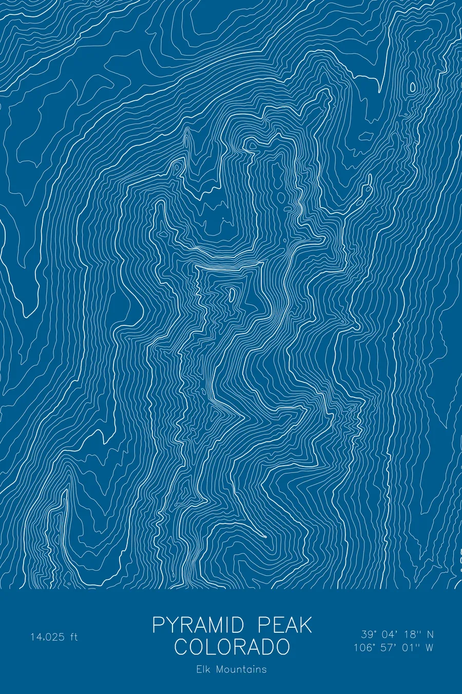
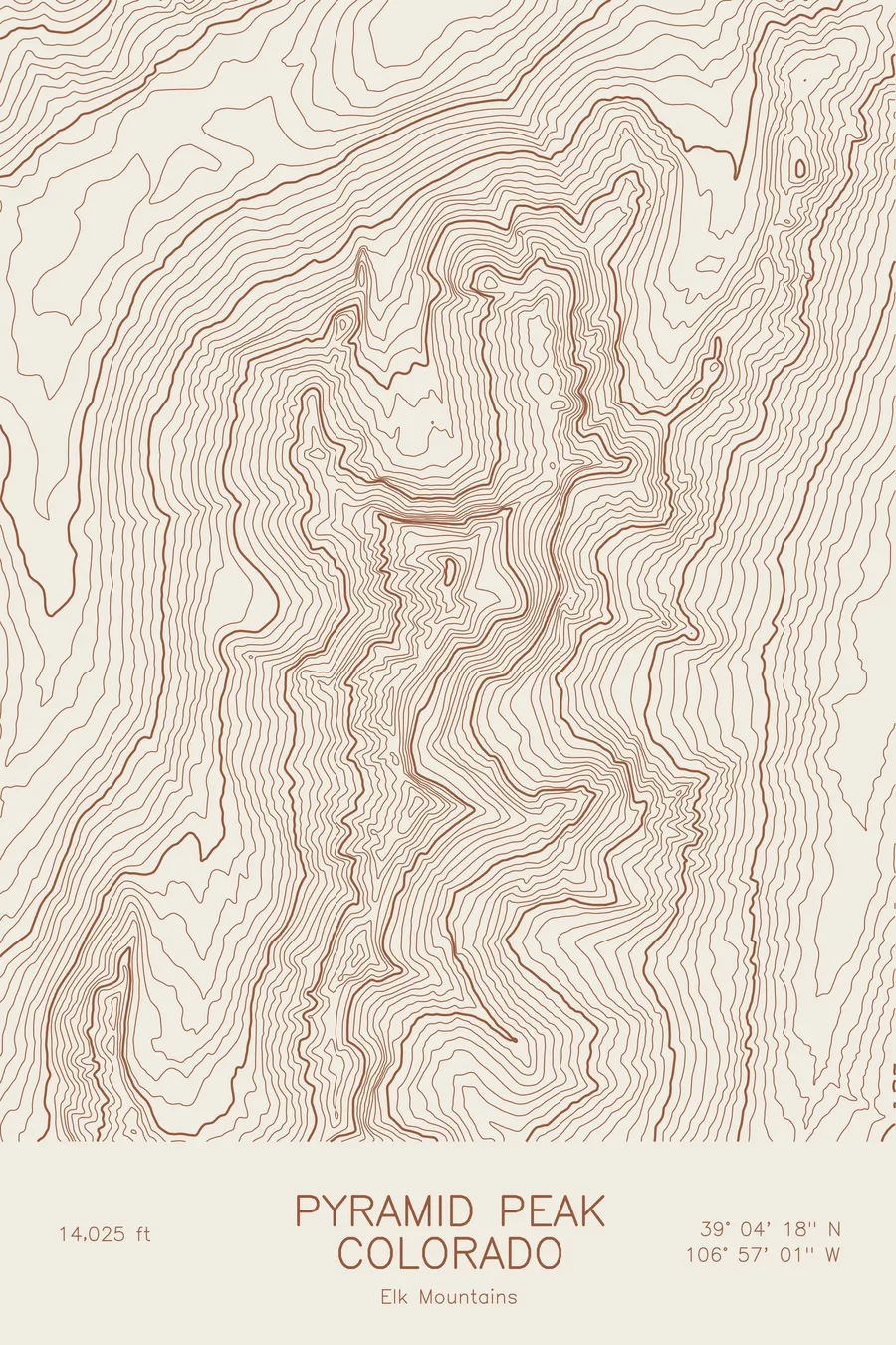
A pen-plotted topographic map of Pyramid Peak in the Elk Mountains, Colorado, drawn from real elevation contour data.
Steep Elk Mountains 14er across from the Maroon Bells, home to mountain goats. 14,025 feet above sea level.
$54
Ink & paper: Blue
Size: 12×18"
+Personalize this map
+ Details
- 12 × 18 inches
- Drawn on 98 lb (160 gsm) archival cotton paper
- Precision technical pens and archival inks
- Signed and dated on the back
- Ships flat, protected, ready to frame
Each map begins with elevation data and is drawn by a pen plotter in our Vermont studio. Mechanical precision, plus the texture and small imperfections of real ink on paper.
Off the screen
In real rooms



















+ About this map
Pyramid Peak rises to 14,025 feet in the Elk Mountains of Colorado, directly across the Maroon Creek valley from the Maroon Bells. It is built of the same crumbling red sedimentary rock as the Bells and is, if anything, steeper: a true pyramid of ledges and gullies that ranks among the harder of the state’s fourteeners by its standard route. The Amphitheater, the cirque on its north side, is a well-known haunt of mountain goats.
This map traces a peak that is steep on every side. The contour lines close in on the summit from all directions with very little level ground anywhere in the frame, and the north face above the Amphitheater is drawn as a near-solid block of compressed bands. The east and west ridges fall away almost as steeply, and the valley floors of Maroon Creek and its tributaries sit far below. Within this frame the terrain covers about 4,400 feet.
+ Map details
- Pyramid Peak
- Colorado
- United States
- Elk Mountains
- Elk Mountains
- 14,025 ft / 4,275 m
- 39.0717N 106.9502W
- Mountain topographic map
- Original pen plot, archival ink on cotton paper
- 8 × 12 in · 12 × 18 in · 18 × 24 in
- Steep Elk Mountains 14er across from the Maroon Bells, home to mountain goats
More maps