Colorado
Castle Peak
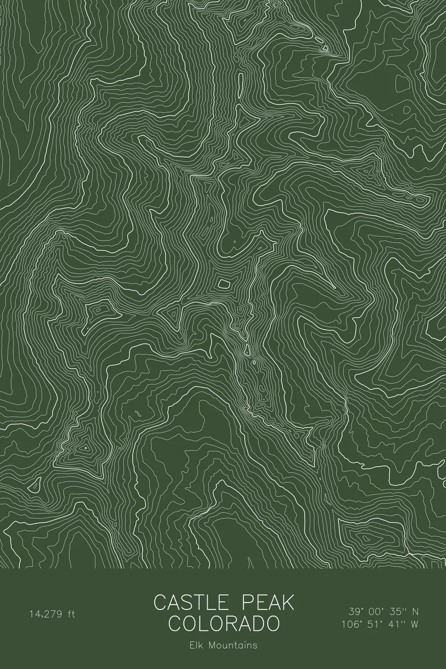
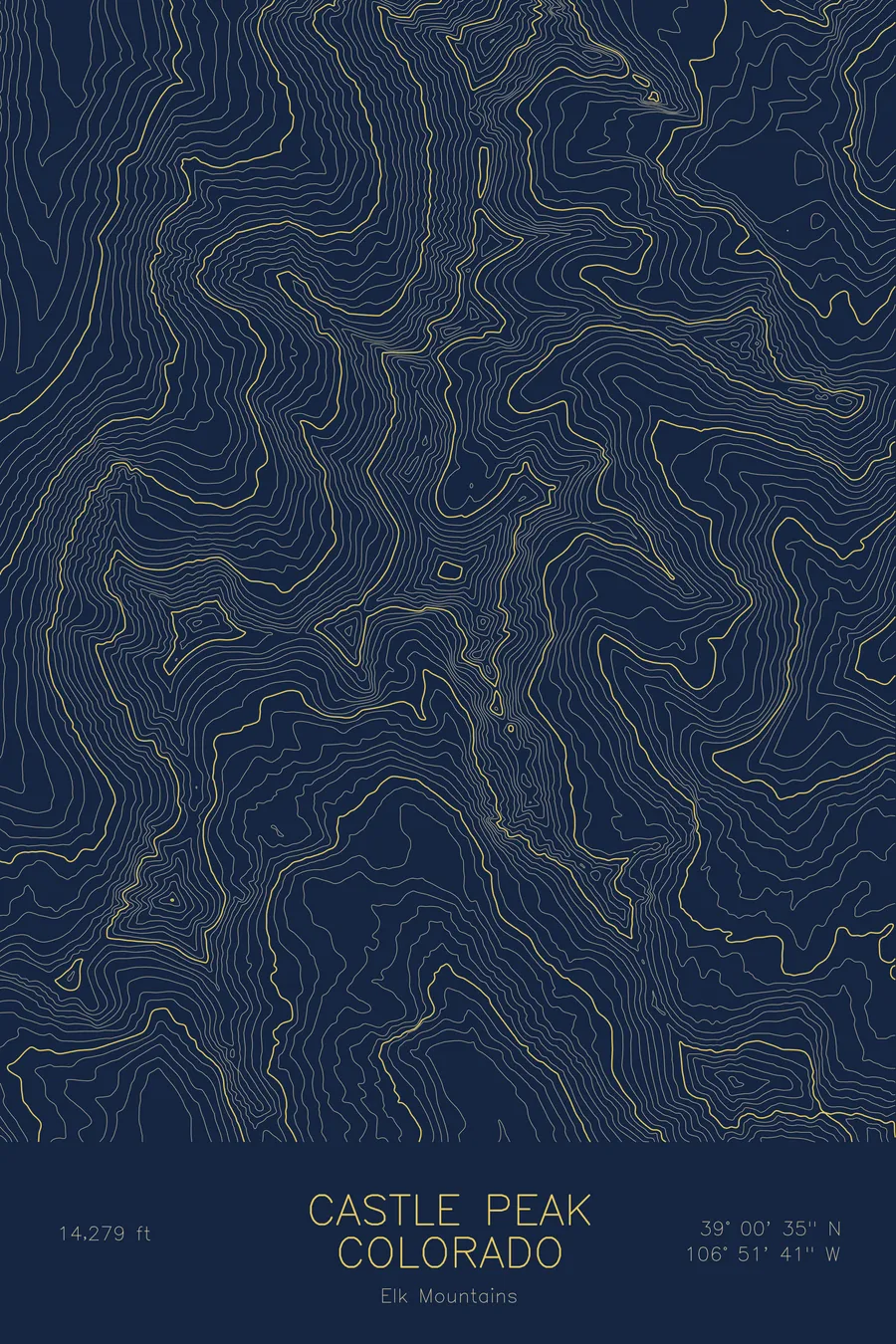
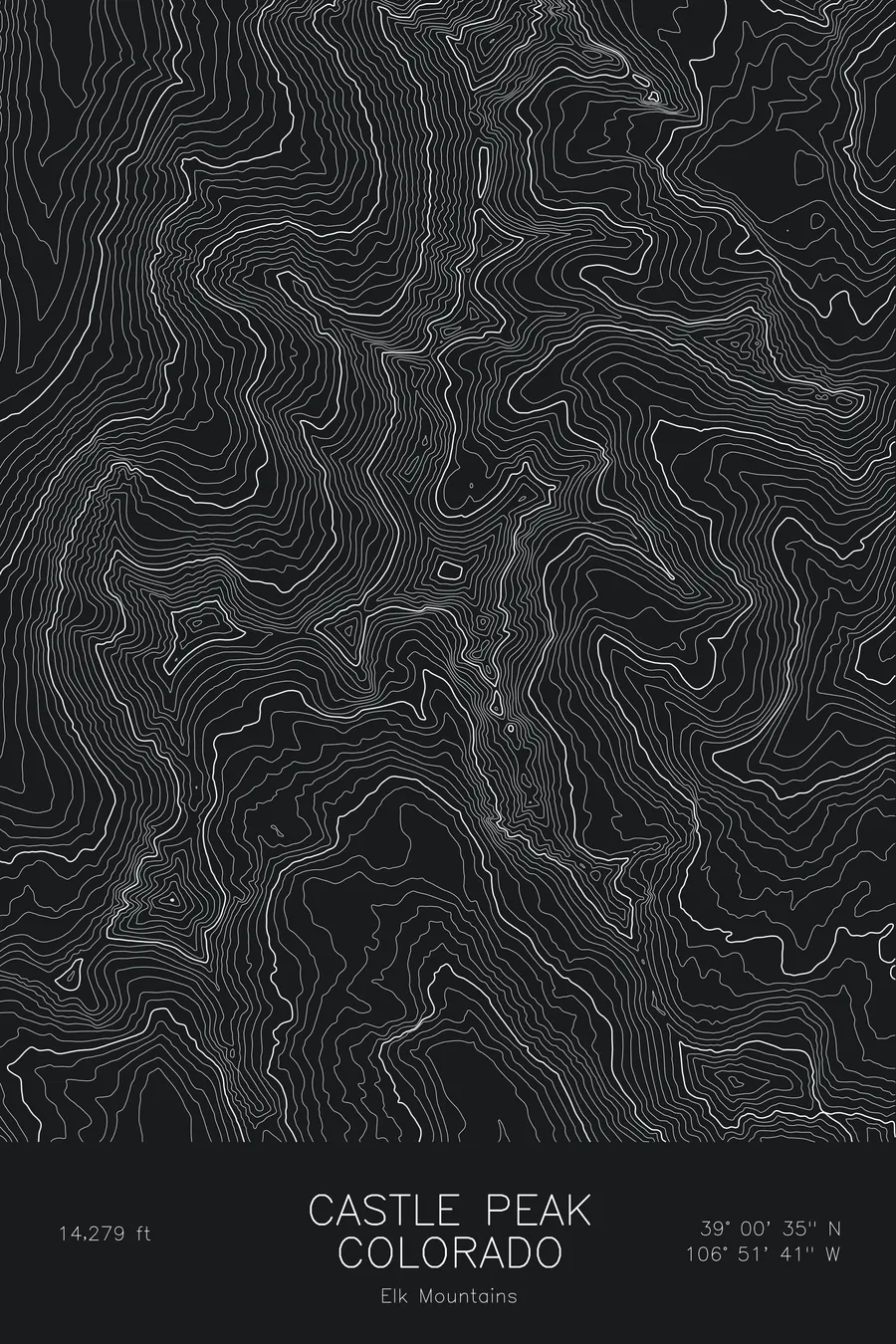
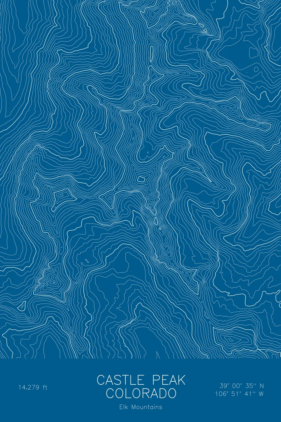
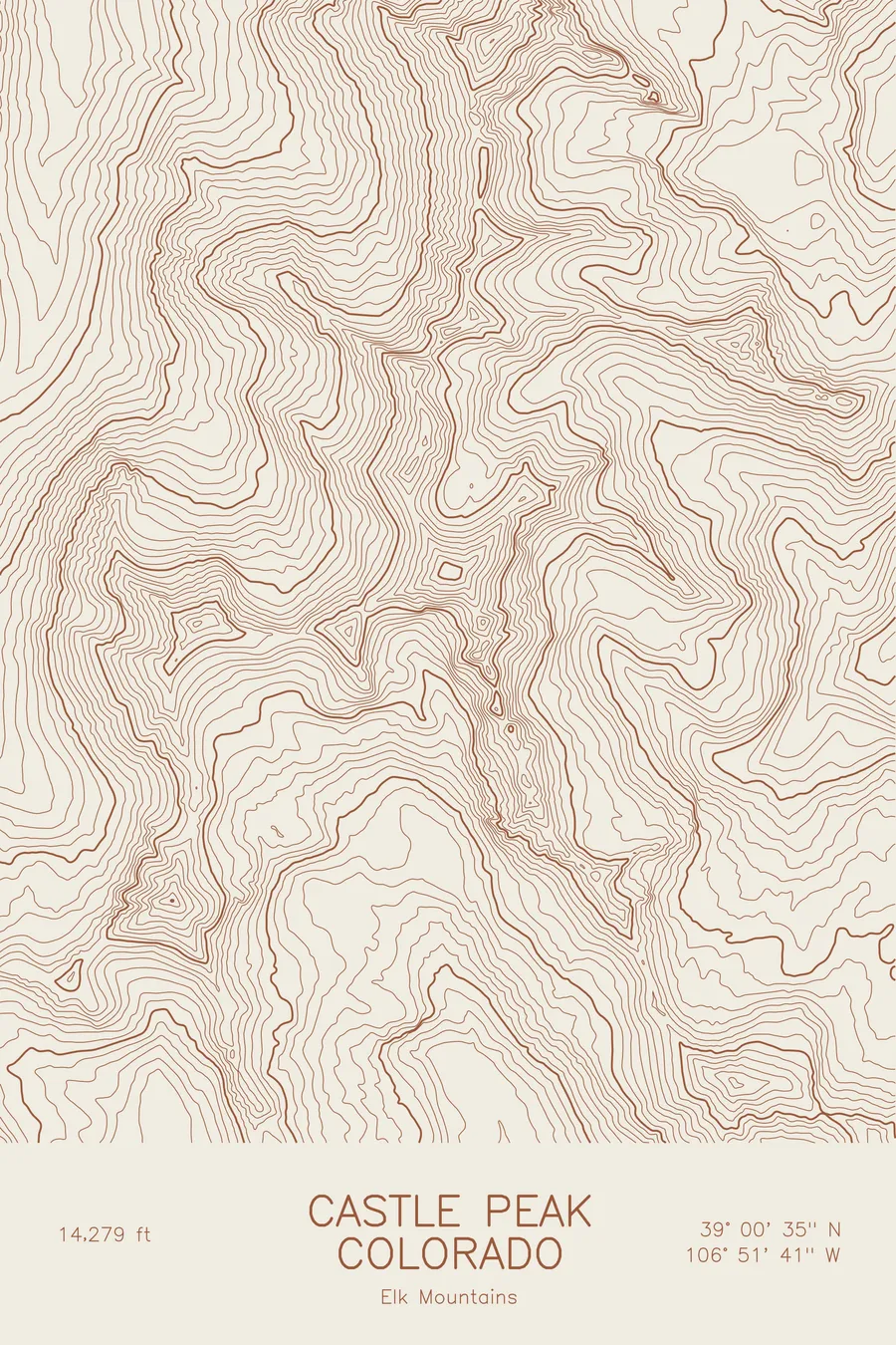
A pen-plotted topographic map of Castle Peak in the Elk Mountains, Colorado, drawn from real elevation contour data.
Highest peak in the Elk Mountains, above Aspen. 14,279 feet above sea level.
$54
Ink & paper: Blue
Size: 12×18"
+Personalize this map
+ Details
- 12 × 18 inches
- Drawn on 98 lb (160 gsm) archival cotton paper
- Precision technical pens and archival inks
- Signed and dated on the back
- Ships flat, protected, ready to frame
Each map begins with elevation data and is drawn by a pen plotter in our Vermont studio. Mechanical precision, plus the texture and small imperfections of real ink on paper.
Off the screen
In real rooms



















+ About this map
Castle Peak rises to 14,279 feet in Colorado’s Elk Mountains, the highest summit in the range and the high point of the country south of Aspen. It takes its name from the turreted look of its summit ridge, and it sits at the head of Castle Creek with Conundrum Peak joined to it on the north. Montezuma Basin, on the northeast side, holds snow well into summer.
This map traces the head of a glacial valley. The contour lines wrap tightly around the summit and the ridge to Conundrum, then open into the wide, scoured floor of Montezuma Basin below. The steep walls of the cirque show as dense parallel bands, while the valley floor of Castle Creek runs in loose, wide lines toward the edge of the sheet. Elevation on this map runs from about 10,300 feet to the summit.
+ Map details
- Castle Peak
- Colorado
- United States
- Elk Mountains
- Elk Mountains
- 14,279 ft / 4,352 m
- 39.0097N 106.8614W
- Mountain topographic map
- Original pen plot, archival ink on cotton paper
- 8 × 12 in · 12 × 18 in · 18 × 24 in
- Highest peak in the Elk Mountains, above Aspen
More maps