British Columbia
Whistler Blackcomb
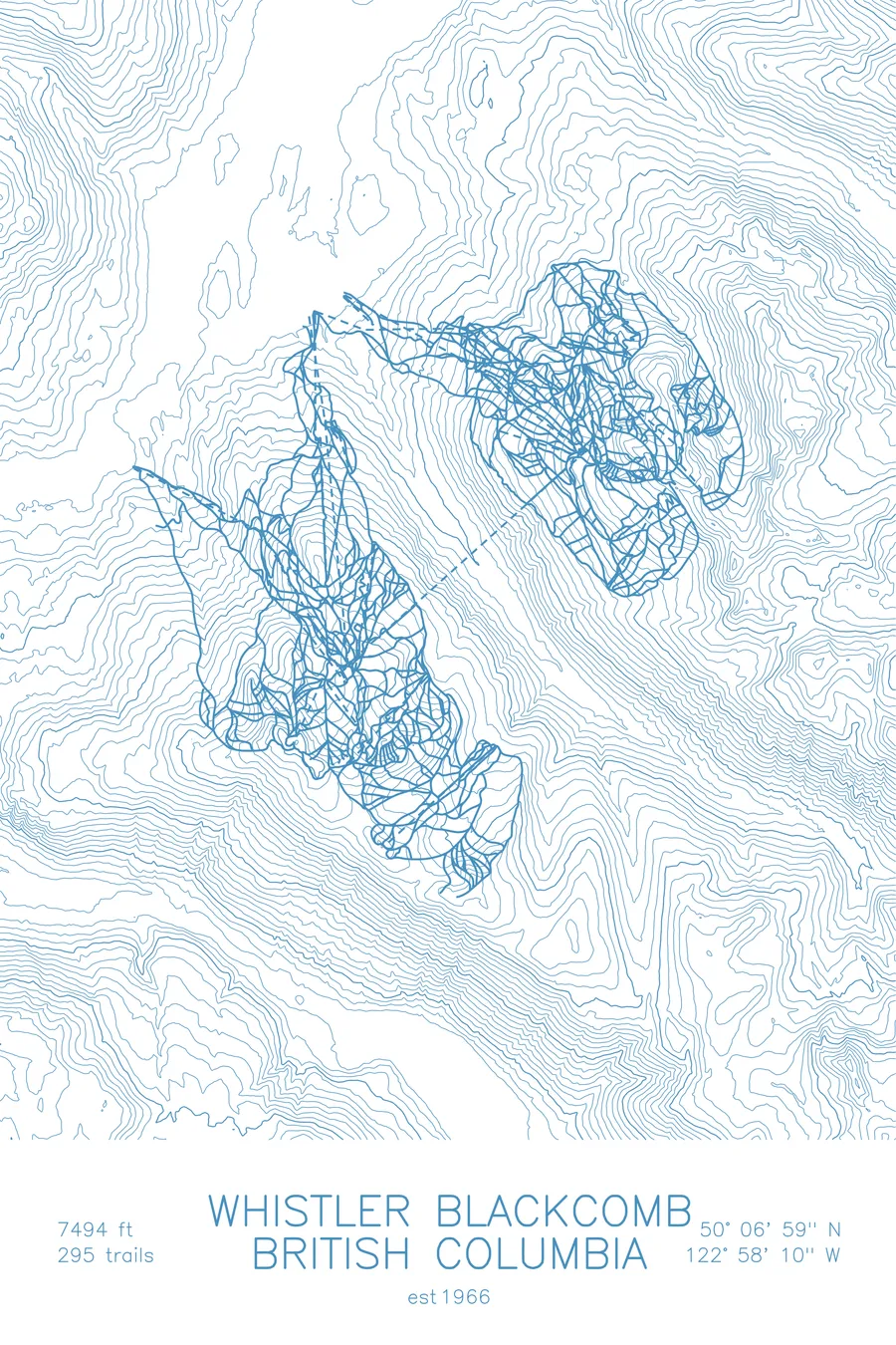
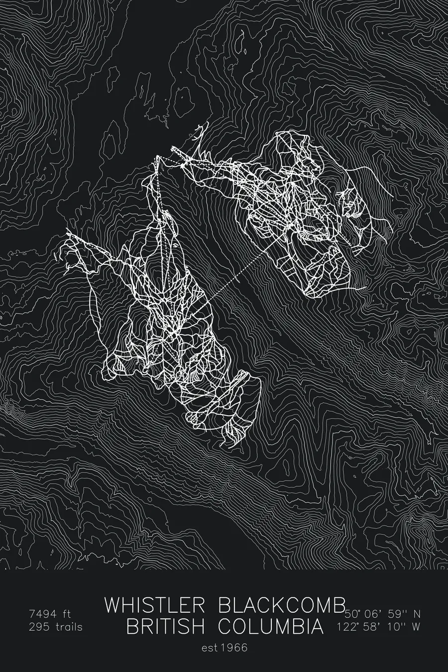
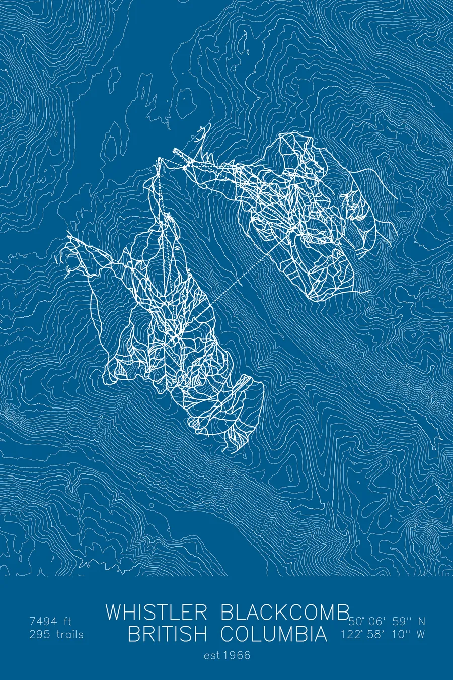
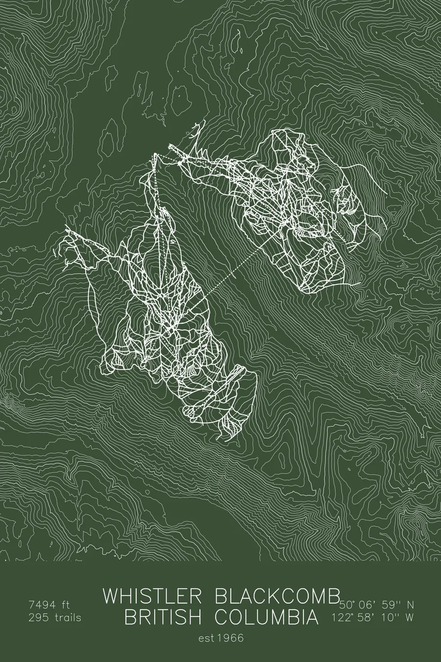
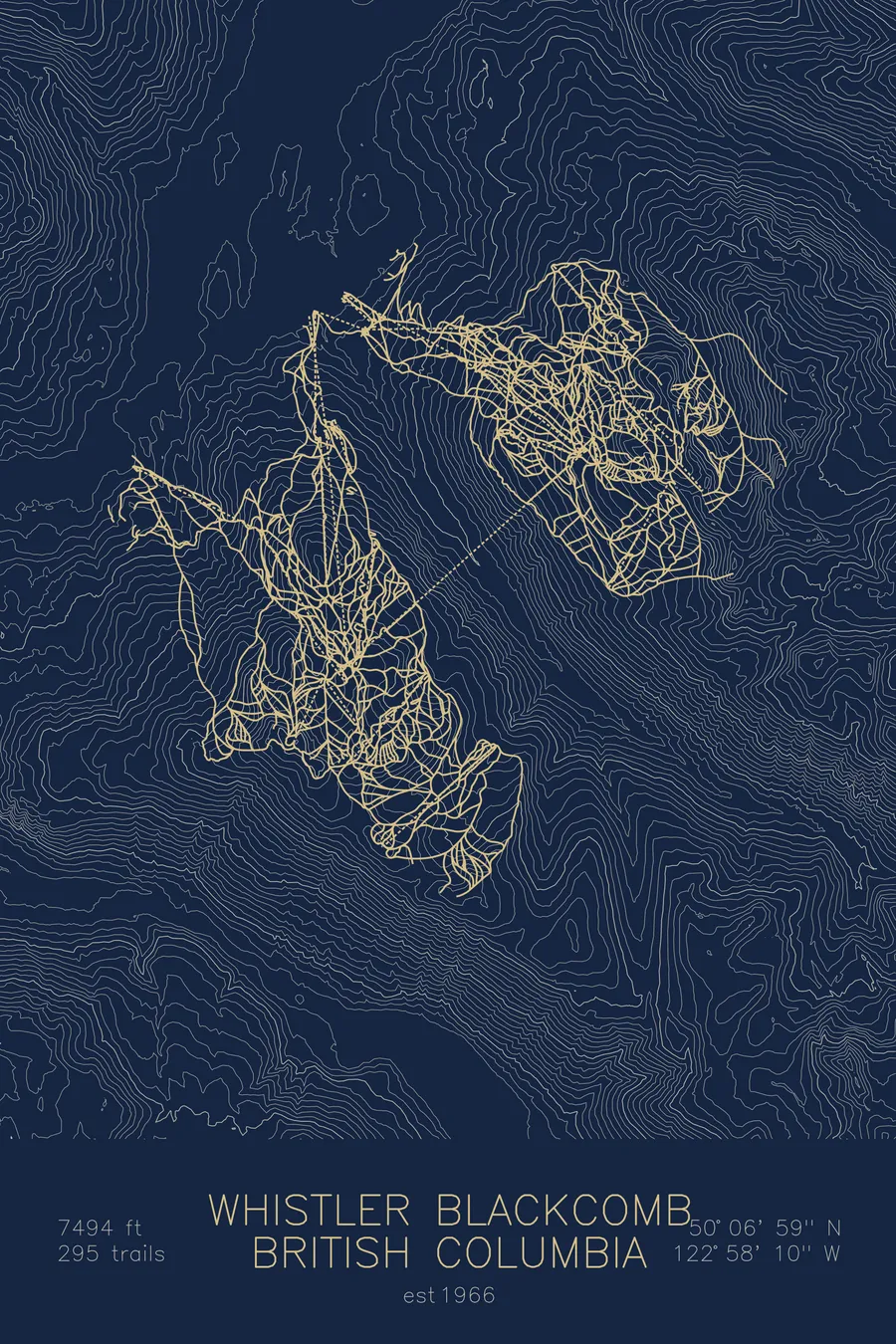
A topographic ski map of Whistler Blackcomb, British Columbia, with the resort's runs and lifts drawn over real terrain in a minimalist contour-line design.
Est. 1966. 295 trails. 7,494 feet above sea level.
$63
Ink & paper: Arctic White
Size: 12×18"
+Personalize this map
+ Details
- 12 × 18 inches
- Drawn on 98 lb (160 gsm) archival cotton paper
- Precision technical pens and archival inks
- Signed and dated on the back
- Ships flat, protected, ready to frame
Each map begins with elevation data and is drawn by a pen plotter in our Vermont studio. Mechanical precision, plus the texture and small imperfections of real ink on paper.
Off the screen
In real rooms



















+ About this map
Whistler Blackcomb combines two massive mountains connected by the Peak 2 Peak Gondola, the highest and longest unsupported lift span in the world. Together they offer over 8,100 acres of terrain, the most of any ski resort in North America.
+ Map details
- Whistler Blackcomb
- British Columbia
- Canada
- Pacific Northwest
- 7,494 ft / 2,284 m
- 50.1164N 122.9694W
- Ski resort trail map
- Original pen plot, archival ink on cotton paper
- 8 × 12 in · 12 × 18 in · 18 × 24 in
- Est. 1966. 295 trails
More maps