Wyoming
Yellowstone National Park
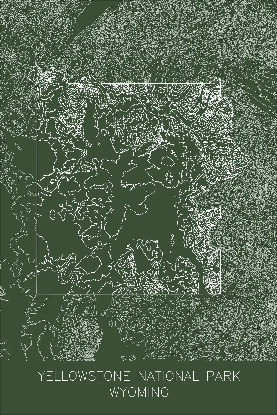
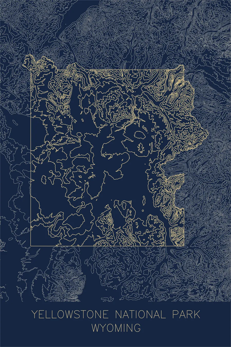
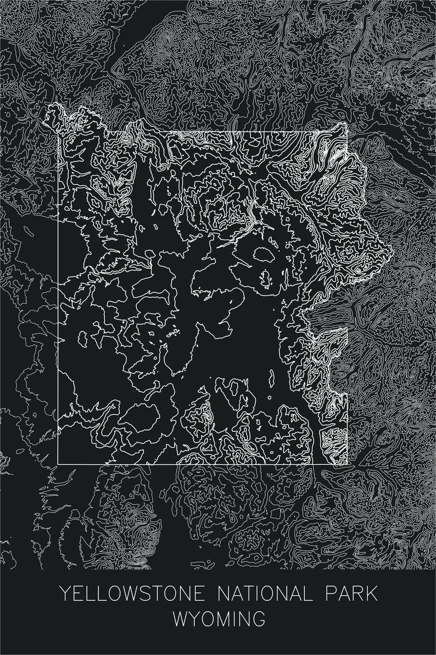
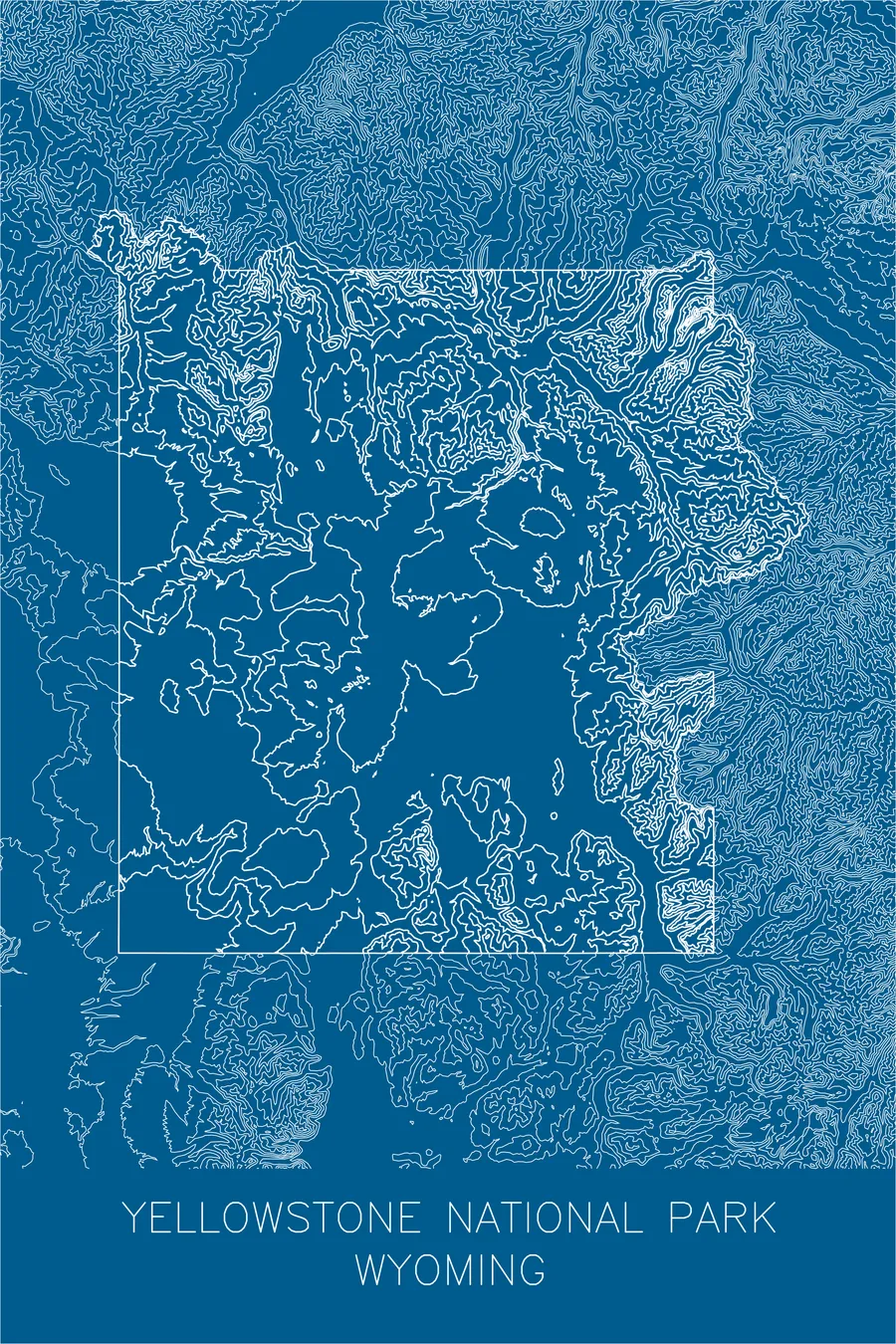
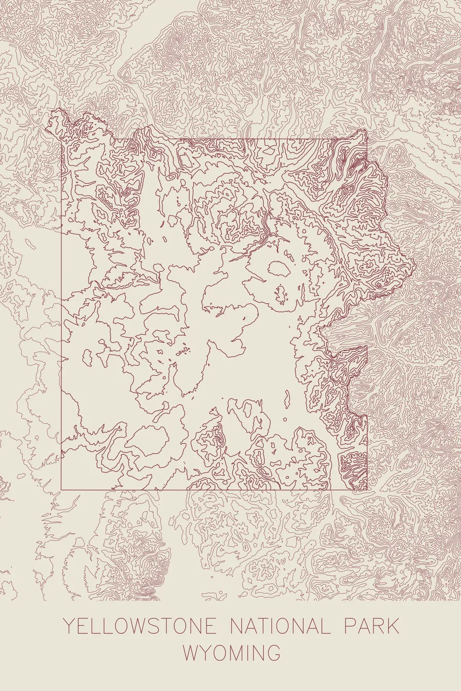
A pen-plotted topographic map of Yellowstone National Park, Wyoming, drawn from real elevation contour data.
The first superintendent served five years without pay and entered the park twice.
$54
Ink & paper: Blue
+Personalize this map
+ Details
- 12 × 18 inches
- Drawn on 98 lb (160 gsm) archival cotton paper
- Precision technical pens and archival inks
- Signed and dated on the back
- Ships flat, protected, ready to frame
Each map begins with elevation data and is drawn by a pen plotter in our Vermont studio. Mechanical precision, plus the texture and small imperfections of real ink on paper.
Off the screen
In real rooms



















+ About this map
When Congress created the world’s first national park in 1872, it appropriated no money to run it, which meant the first superintendent, Nathaniel Langford, spent five years working without a salary, earned his living elsewhere, and entered the park he supervised exactly twice. Civilian management went about as well as this suggests: by August 1886 the poachers and vandals had so thoroughly won that the U.S. Army took over, and it ran Yellowstone for 30 years until the National Park Service was created in 1916. All of this sat on top of one of the largest volcanic systems on Earth, whose heat powers roughly half of the world’s geysers.
Unlike parks defined by a single dramatic range, Yellowstone reads on a map as a great volcanic tableland. The contour lines spread calmly across the central plateau and around the sprawling outline of Yellowstone Lake, then gather into rugged texture where the Absaroka Range rises along the eastern boundary and the Gallatin Range fills the northwest. Between them, the lines pinch together where the Yellowstone River drops into its own Grand Canyon, cutting a sharp seam through the quiet center of the print.
+ Map details
- Yellowstone National Park
- Wyoming
- United States
- Rocky Mountains
- 11,358 ft / 3,462 m
- 44.4280N 110.5885W
- National park topographic map
- Original pen plot, archival ink on cotton paper
- 12 × 18 in
- The world's first national park, atop a vast volcanic caldera
More maps