California
Yosemite National Park
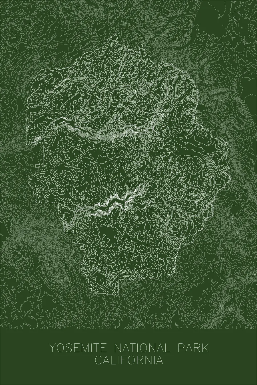
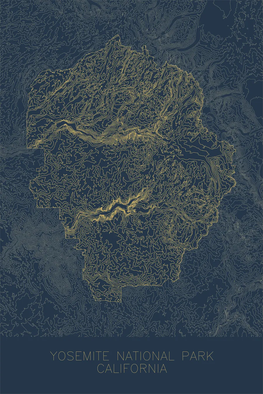
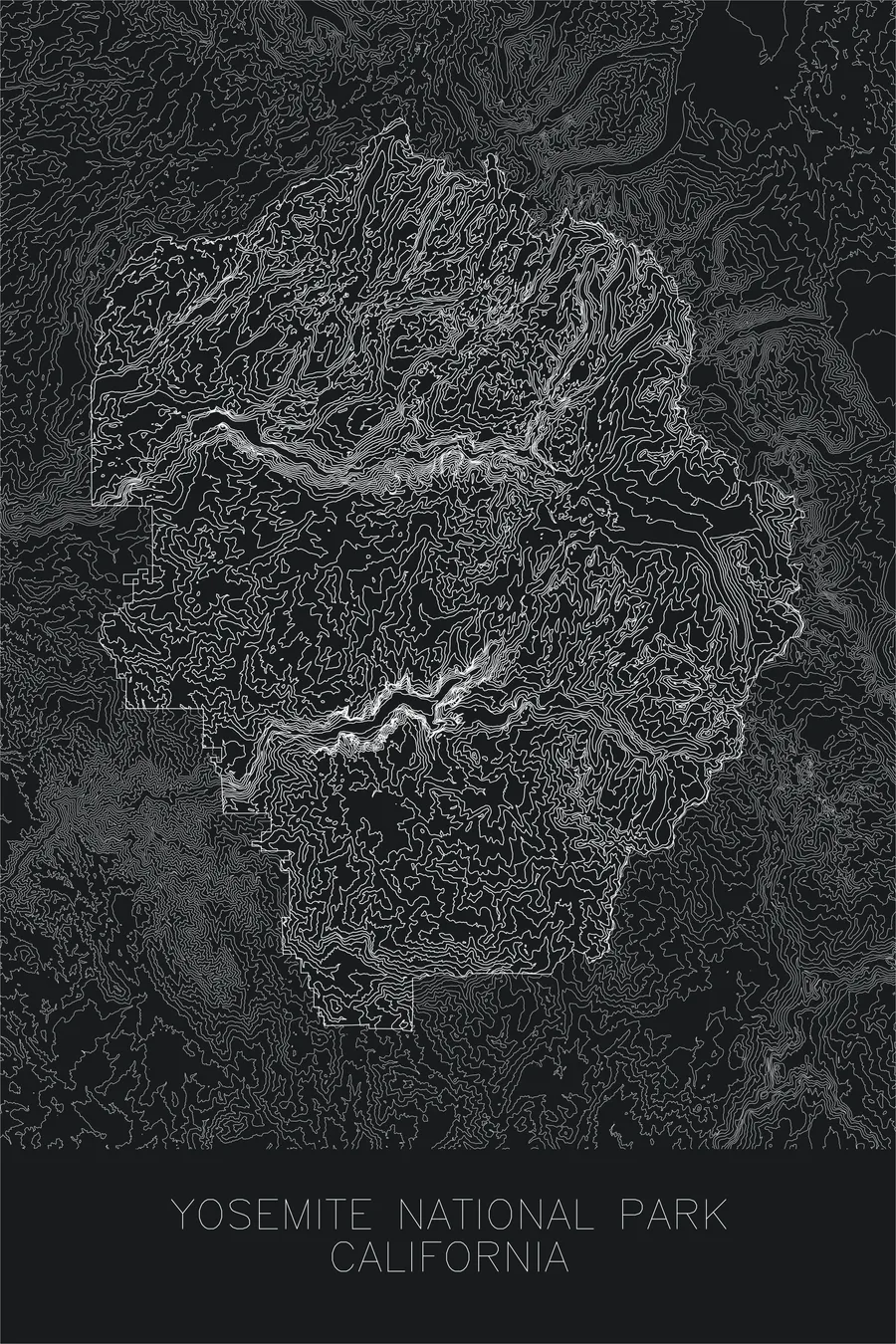
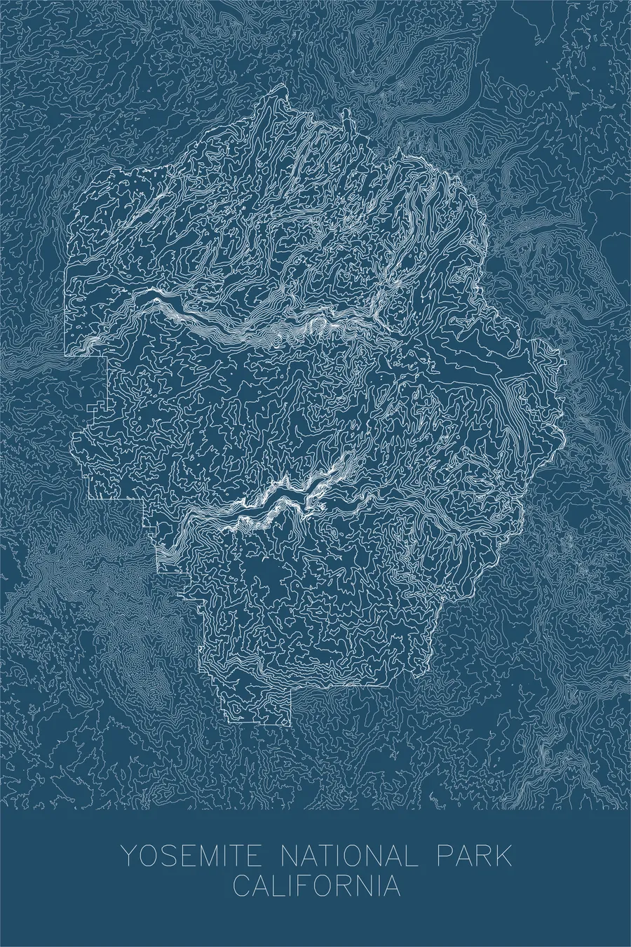
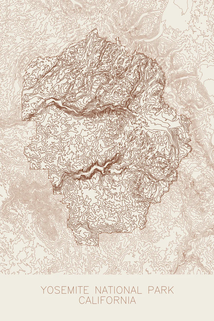
A pen-plotted topographic map of Yosemite National Park, California, drawn from real elevation contour data.
Iconic glacially carved valley with the tallest granite monolith and highest waterfall in North America. 13,114 feet above sea level.
$54
Ink & paper: Navy
+Personalize this map
+ Details
- 12 × 18 inches
- Drawn on 98 lb (160 gsm) archival cotton paper
- Precision technical pens and archival inks
- Signed and dated on the back
- Ships flat, protected, ready to frame
Each map begins with elevation data and is drawn by a pen plotter in our Vermont studio. Mechanical precision, plus the texture and small imperfections of real ink on paper.
Off the screen
In real rooms



















+ About this map
Yosemite National Park spans nearly 750,000 acres of the central Sierra Nevada in California. At its heart lies Yosemite Valley, a mile-wide, seven-mile-long glacial trough flanked by sheer granite walls rising 3,000 to 4,000 feet from the valley floor. El Capitan, the largest exposed granite monolith in the world, stands at the valley’s western entrance, while Half Dome, its northwestern face sheared clean by glacial action, marks the eastern end. Above the valley rim, the park extends across vast subalpine meadows and high country reaching 13,114 feet at Mount Lyell.
This map captures the sharp contrast between the flat valley floor and the vertical walls that contain it. The contour lines pack into dense, nearly parallel bands along the cliffs of El Capitan, Cathedral Rocks, and Half Dome, then spread wide across the gentle terrain of Tuolumne Meadows and the high basins above. Waterfalls appear where hanging valleys meet the main canyon: Yosemite Falls, Bridalveil Fall, and others marking the abrupt transitions between glacial levels. The result is a map dominated by edges: a landscape where ice carved the granite into some of the most dramatic vertical relief on Earth.
+ Map details
- Yosemite National Park
- California
- United States
- Sierra Nevada
- California
- 13,114 ft / 3,997 m
- 37.7459N 119.5332W
- National park topographic map
- Original pen plot, archival ink on cotton paper
- 12 × 18 in
- Iconic glacially carved valley with the tallest granite monolith and highest waterfall in North America
More maps