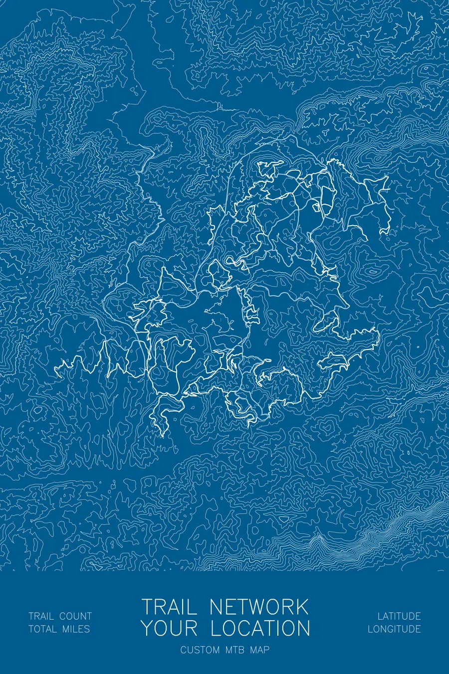
Any trail network
Custom mountain bike trail map
Your home trail network, every climb and descent, drawn over the terrain it rides.
$70
Ink & paper: Tan
Size: 12×18"
Please tell me which place to map first.
+ Details
- 12 × 18 inches
- Drawn on 98 lb (160 gsm) archival cotton paper
- Precision technical pens and archival inks
- Signed and dated on the back
- Ships flat, protected, ready to frame
Your map is built from real elevation data for the place you name, laid out in the same house style as the rest of the shop, and sent to you as a digital proof first. Once you approve it, a pen plotter draws it in our Vermont studio: mechanical precision, plus the texture and small imperfections of real ink on paper.
Off the screen
In real rooms



















+ About this map
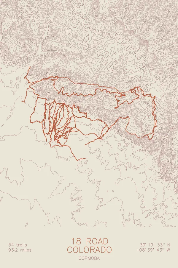
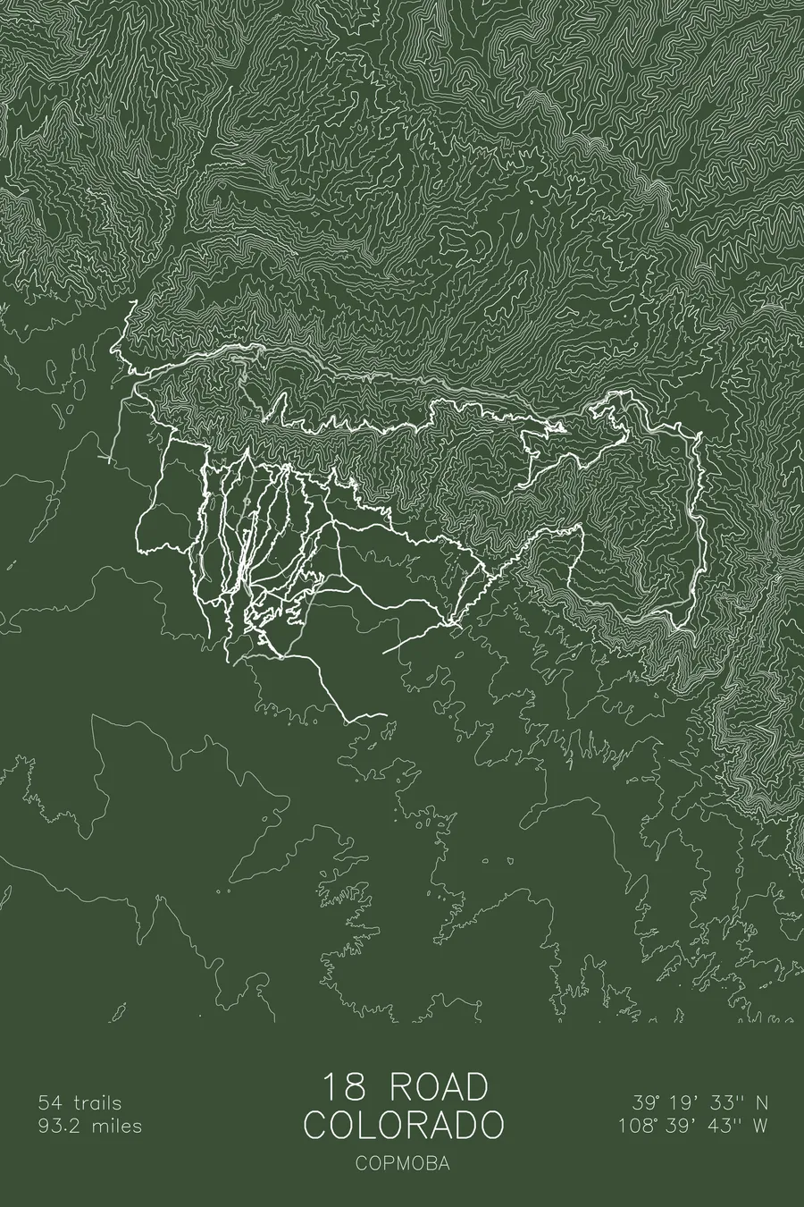
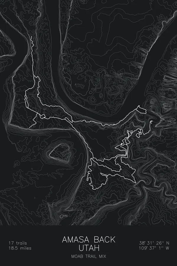
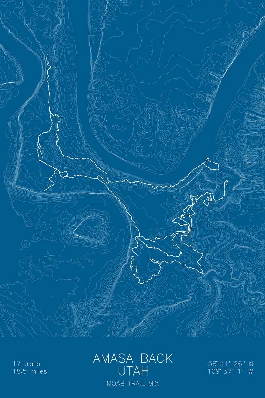
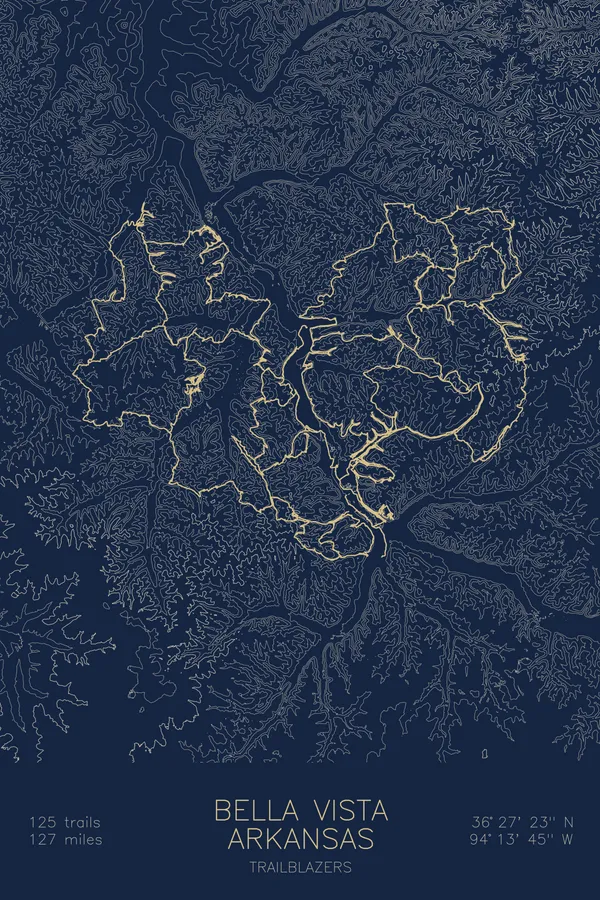
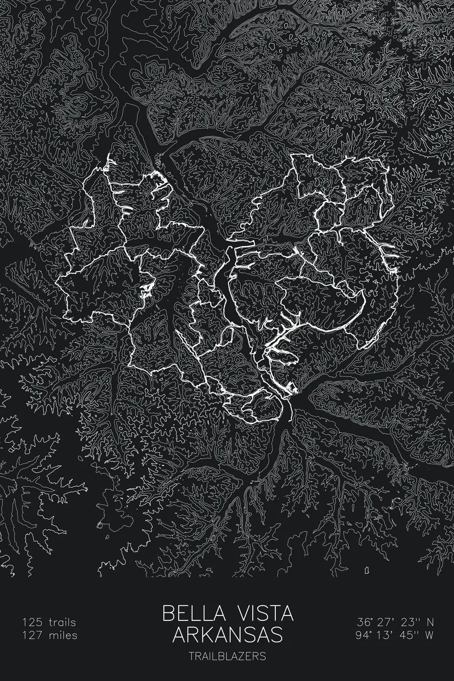
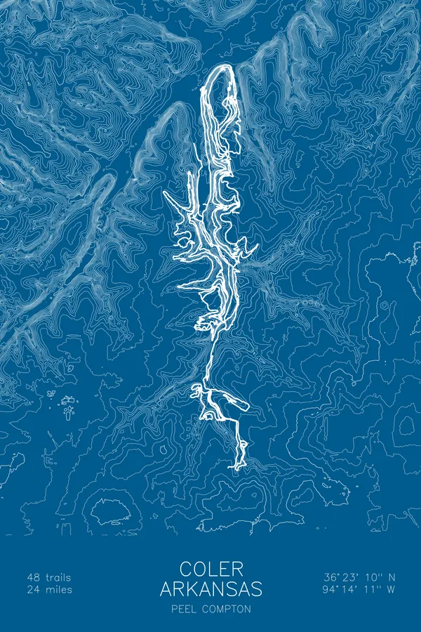
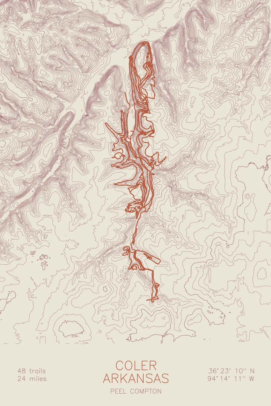
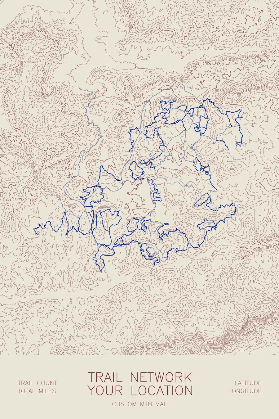
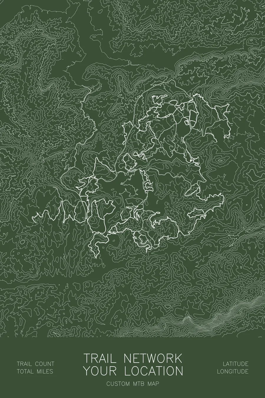
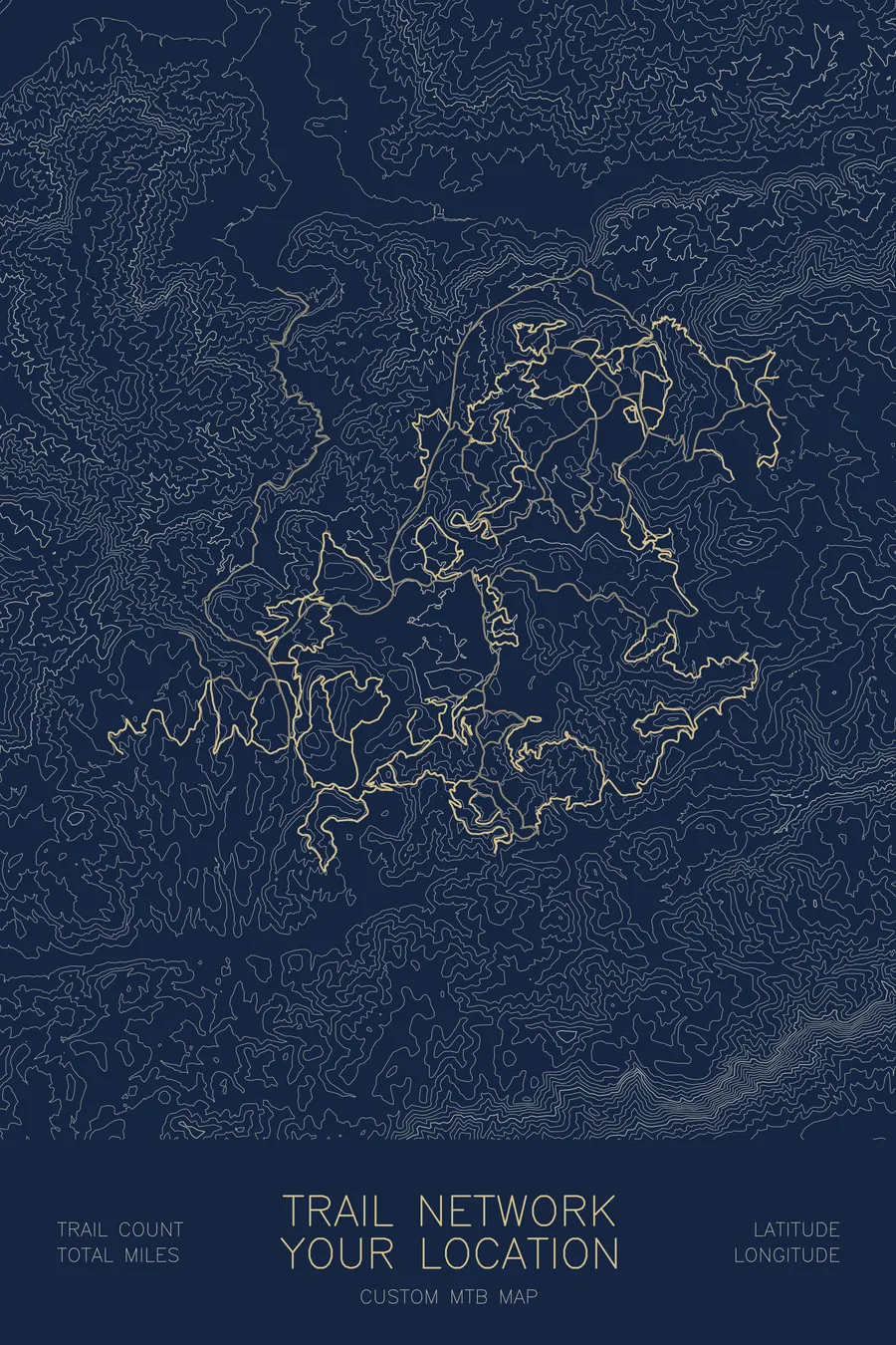
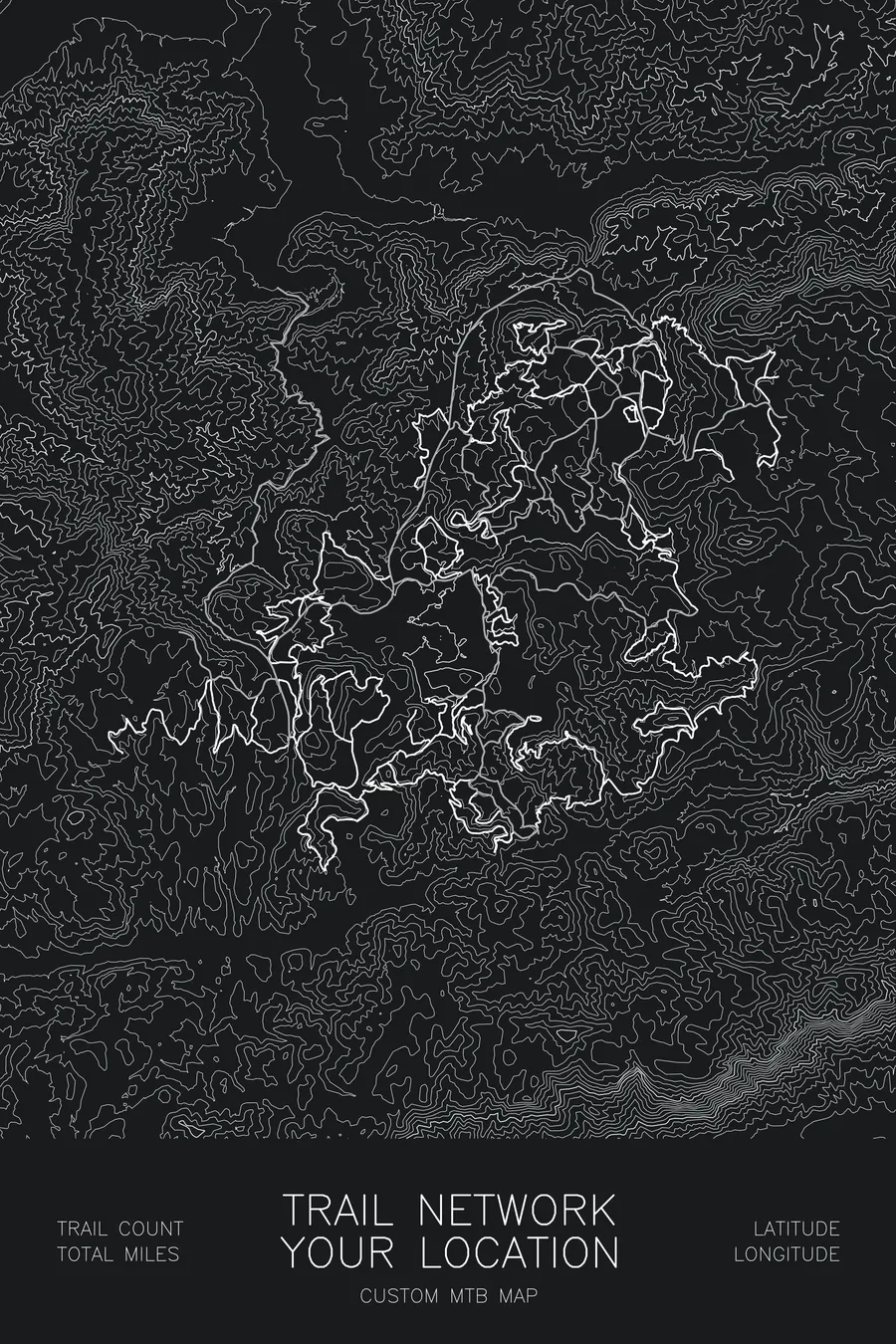
A personalized artwork of your favorite trail network. Each map is custom designed and pen-plotted in my Vermont studio, made to order to capture the trails and topography of your riding zone. The plotter draws every trail and contour line individually with pigment ink on heavy archival paper.
How it works. Choose a size and colorway, then share your trail network or location in the box above. A Trailforks link is perfect, but a name and region is all I need, plus any label text you’d like (e.g. “Kingdom Trails, Vermont”, coordinates, est. year) and any special icons. I’ll design the layout and send you a digital proof within 2 business days, with as many revisions as needed to get it right. Once approved, your artwork is pen-plotted, signed, and carefully packaged within 3 to 5 business days.
What you’ll receive. A made-to-order pen-plotted map of your chosen trail network or location, with real topography under your trails and an optional stats block (trail count, mileage). Acid-free archival matte paper, opaque gel and pigment inks. Signed and dated on the back.
Custom options. Add a small location marker (star, heart, bike, cabin icon), highlight a favorite trail or loop in an accent color, and map a whole region, a single network, or just a subset of specific trails.
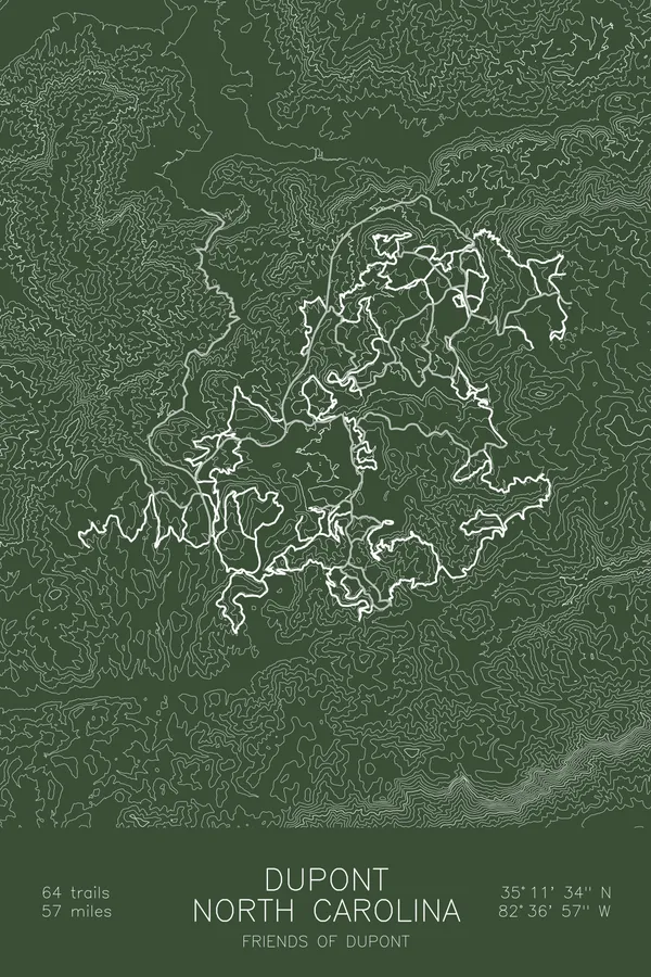
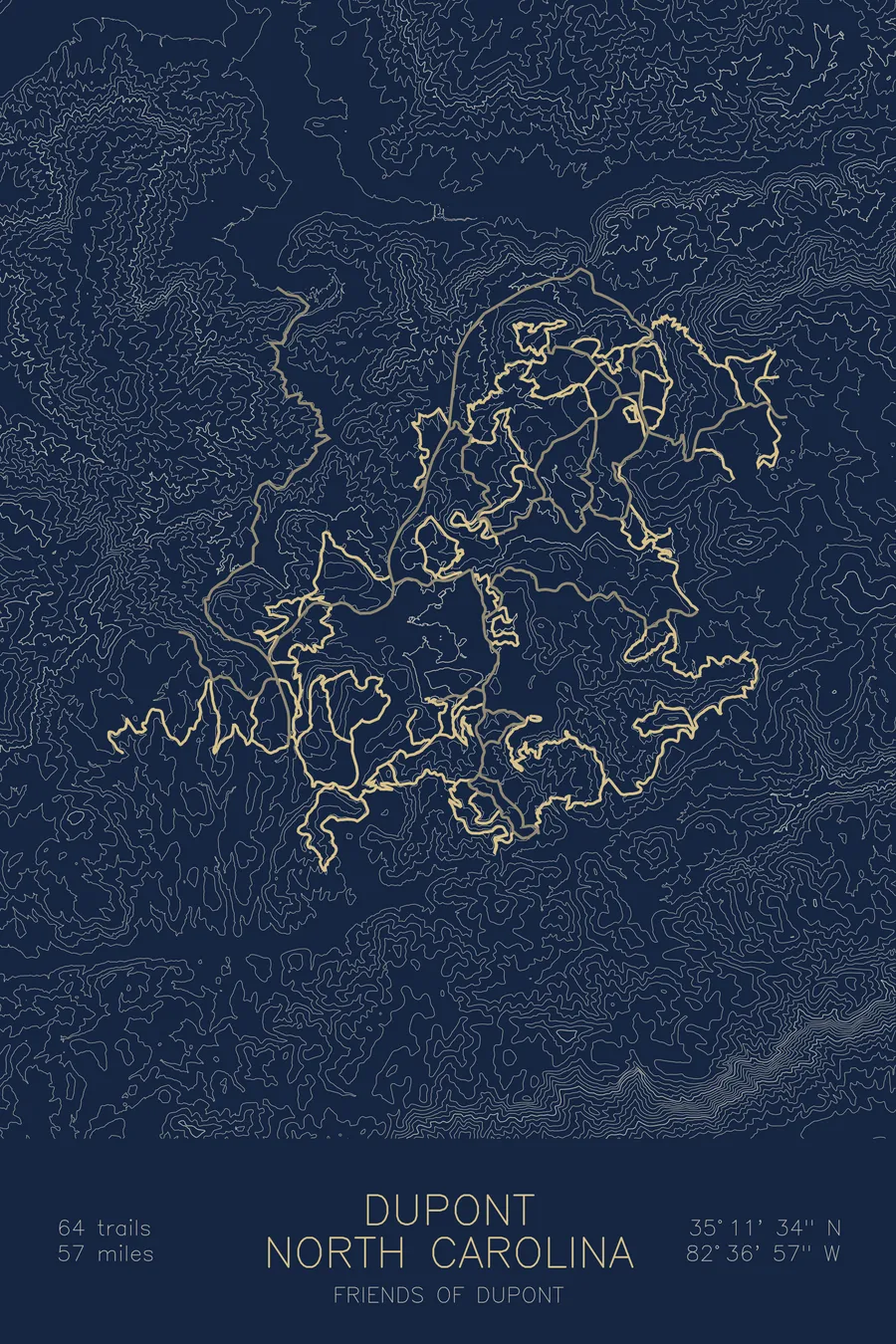
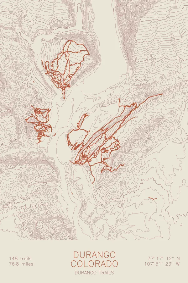
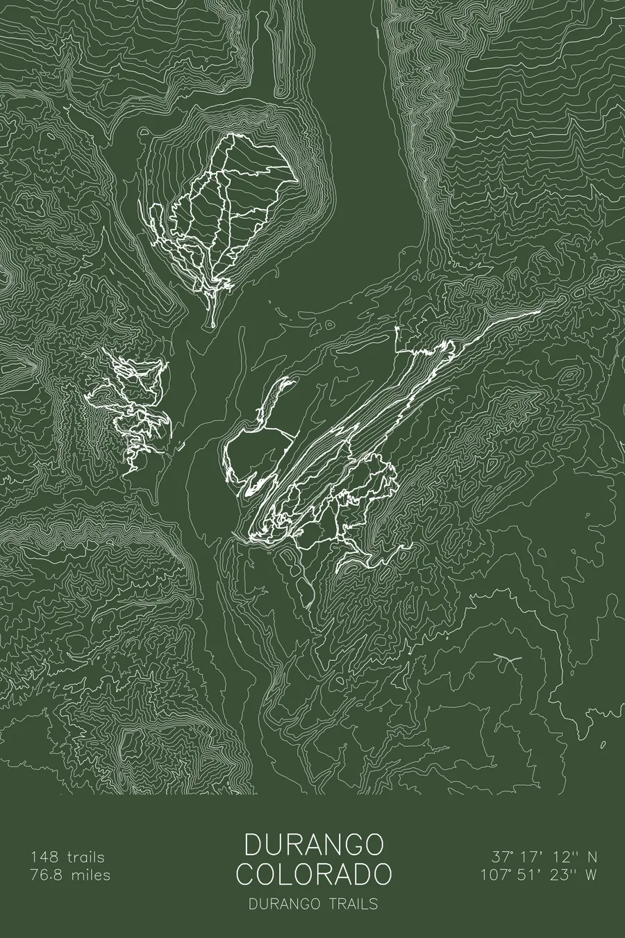
The example images show the layout (the trails are DuPont State Recreational Forest, North Carolina); your map is built for your network. Several well-known networks are ready-made in the shop. Mapping one ride or race course rather than a network? See the custom route map.
More maps