Colorado
El Diente Peak
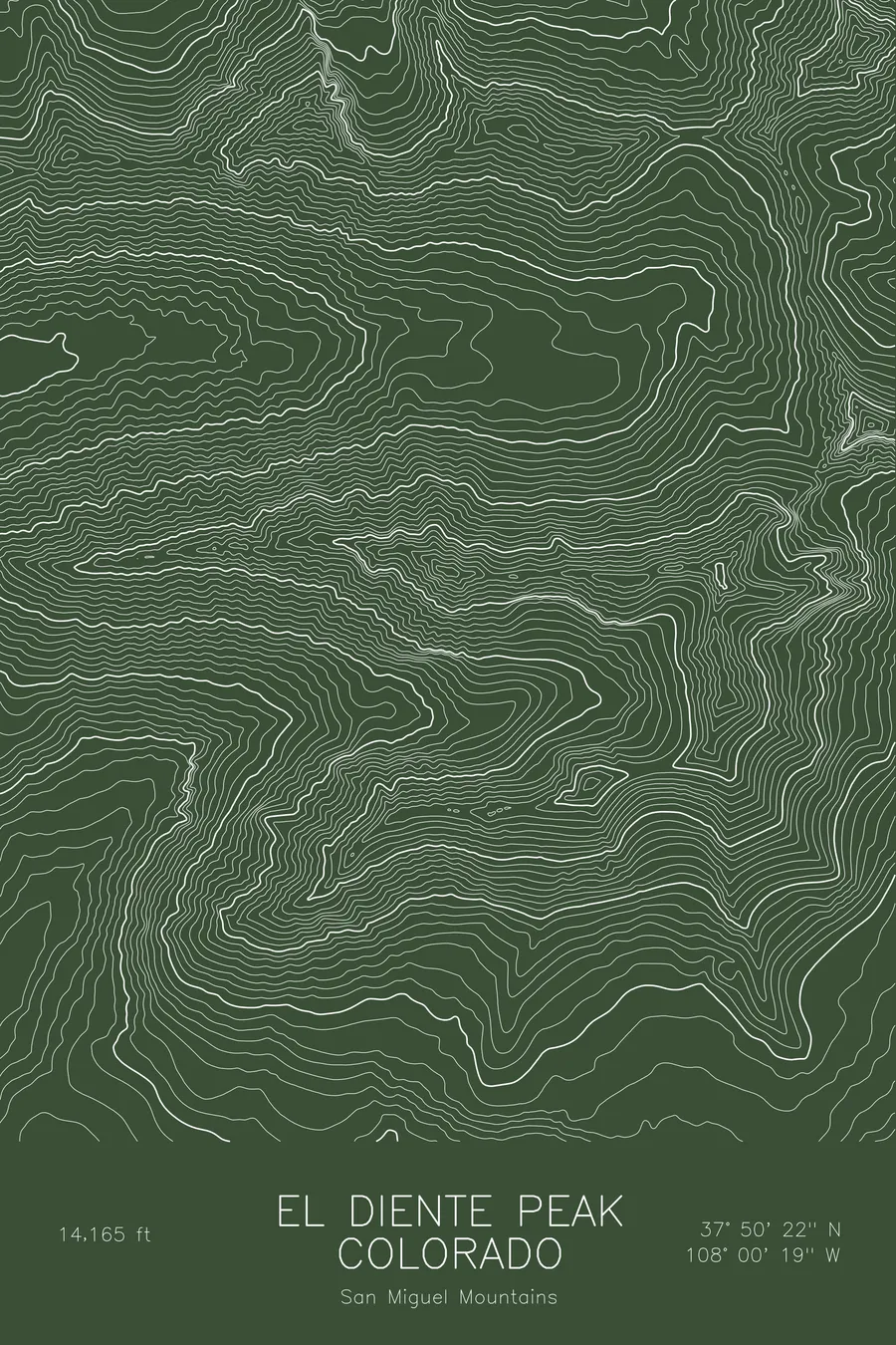
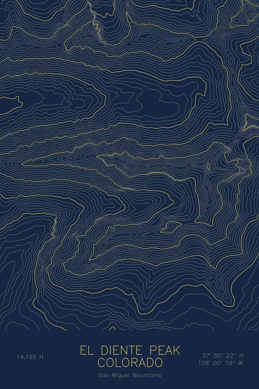
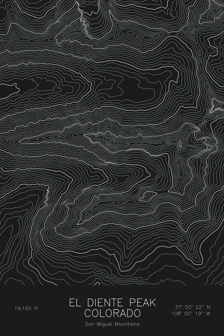
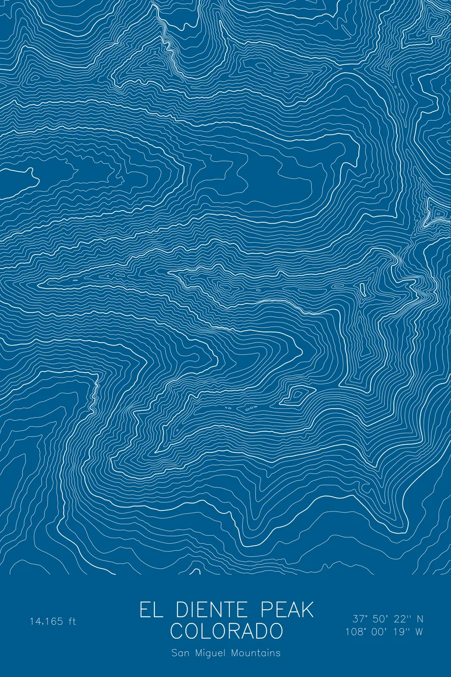
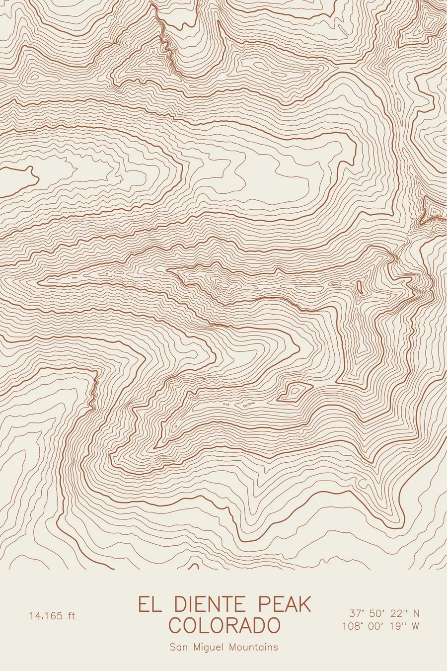
A pen-plotted topographic map of El Diente Peak in the San Miguel Mountains, Colorado, drawn from real elevation contour data.
'The Tooth', westernmost Colorado 14er, joined to Mount Wilson by a class-4 traverse. 14,165 feet above sea level.
$54
Ink & paper: Blue
Size: 12×18"
+Personalize this map
+ Details
- 12 × 18 inches
- Drawn on 98 lb (160 gsm) archival cotton paper
- Precision technical pens and archival inks
- Signed and dated on the back
- Ships flat, protected, ready to frame
Each map begins with elevation data and is drawn by a pen plotter in our Vermont studio. Mechanical precision, plus the texture and small imperfections of real ink on paper.
Off the screen
In real rooms



















+ About this map
El Diente Peak rises to 14,165 feet in the San Miguel Mountains of southwestern Colorado, the westernmost fourteener in the state. Its name means the tooth, and it earns it, a sharp point at the end of a long serrated ridge that runs east to Mount Wilson. The traverse between the two is one of the classic ridge scrambles in Colorado. Navajo Basin lies to the north and Kilpacker Basin to the south.
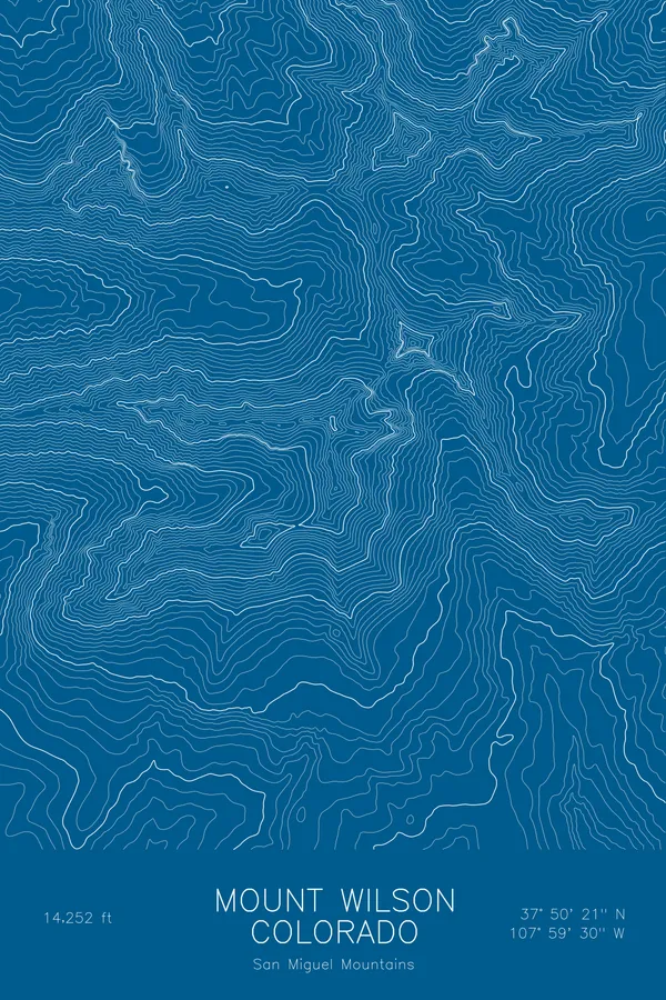
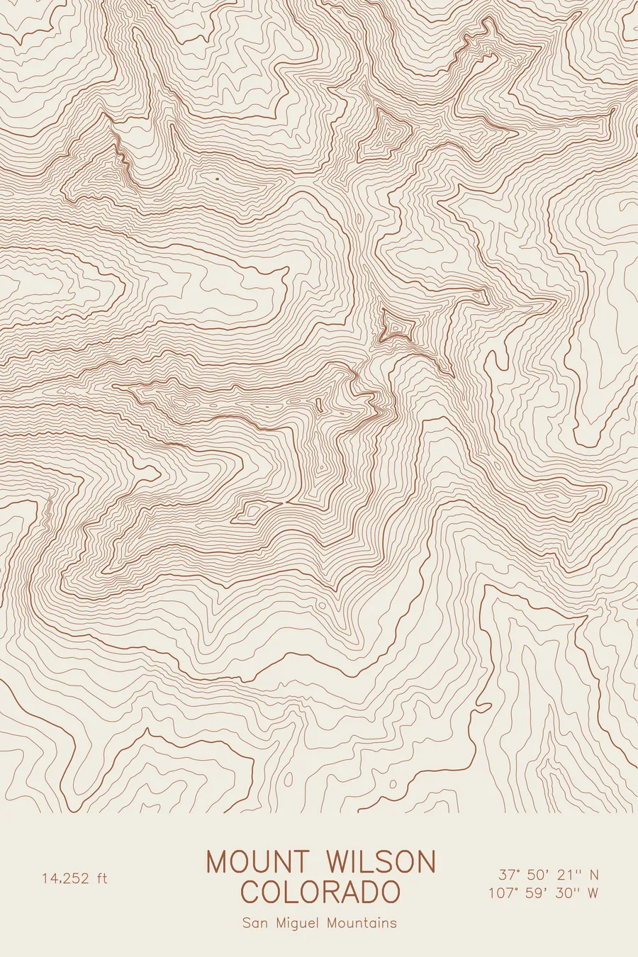
This map traces a single jagged crest. The contour lines follow the El Diente to Mount Wilson ridge as a narrow, tightly stacked band with steep faces dropping away on both sides. Mount Wilson provides the highest ground on the sheet, and the two basins open out above and below the ridge as broad, evenly spaced hollows. Elevation on this map runs from about 10,600 feet in the basins to just over 14,250 feet.
+ Map details
- El Diente Peak
- Colorado
- United States
- San Miguel Mountains
- San Miguel Mountains
- 14,165 ft / 4,317 m
- 37.8394N 108.0053W
- Mountain topographic map
- Original pen plot, archival ink on cotton paper
- 8 × 12 in · 12 × 18 in · 18 × 24 in
- 'The Tooth', westernmost Colorado 14er, joined to Mount Wilson by a class-4 traverse
More maps