Colorado
Mount Wilson
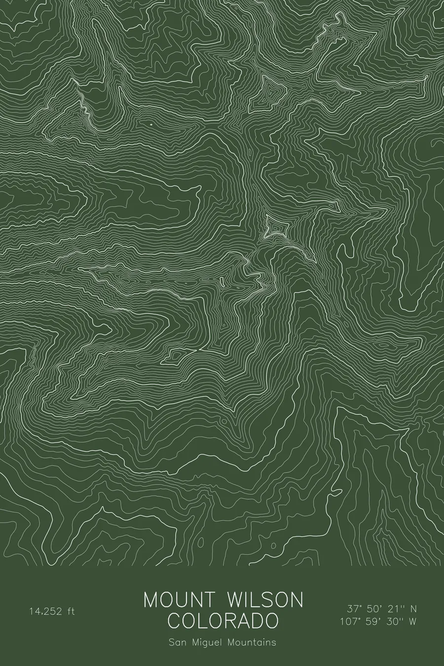
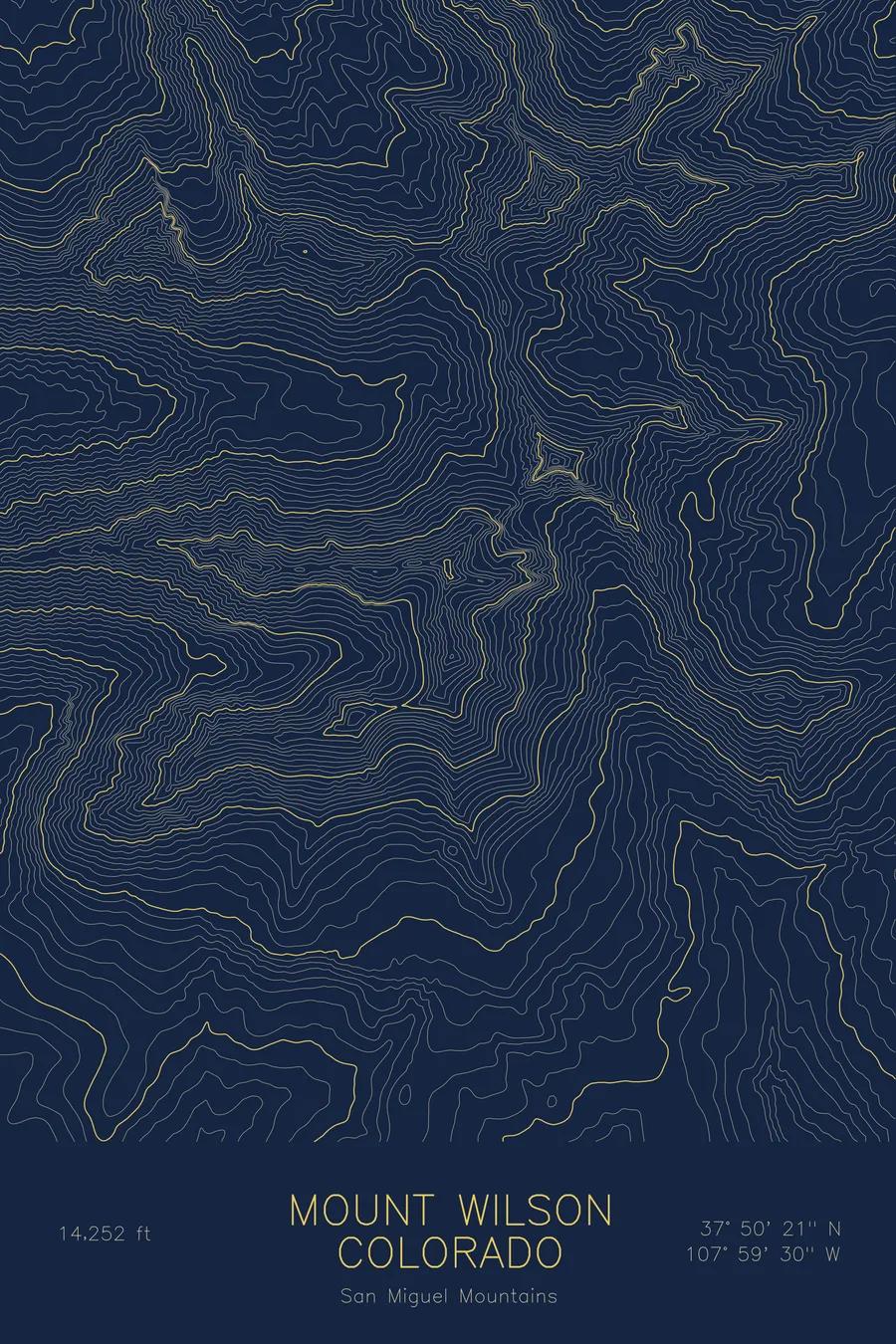
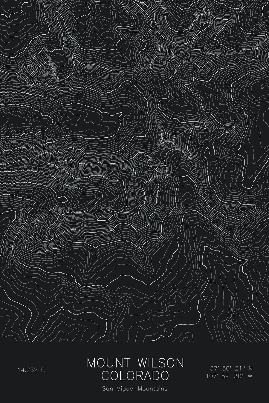
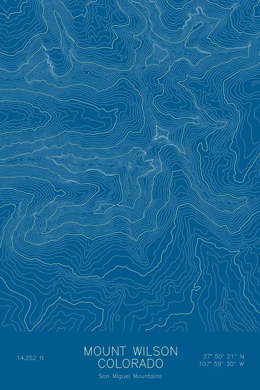
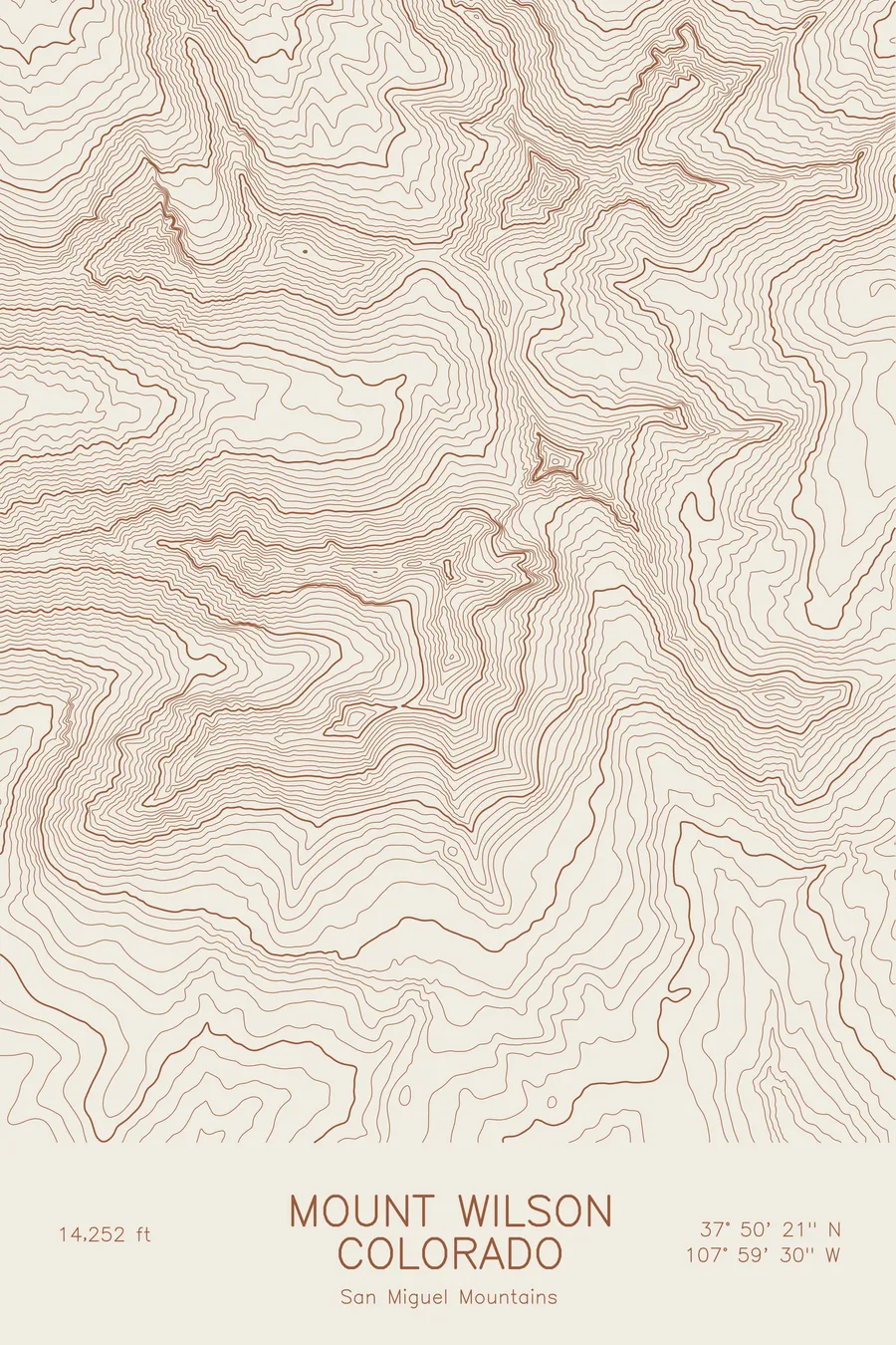
A pen-plotted topographic map of Mount Wilson in the San Miguel Mountains, Colorado, drawn from real elevation contour data.
Highest peak in the San Miguel Mountains, namesake of the Wilson group near Telluride. 14,252 feet above sea level.
$54
Ink & paper: Blue
Size: 12×18"
+Personalize this map
+ Details
- 12 × 18 inches
- Drawn on 98 lb (160 gsm) archival cotton paper
- Precision technical pens and archival inks
- Signed and dated on the back
- Ships flat, protected, ready to frame
Each map begins with elevation data and is drawn by a pen plotter in our Vermont studio. Mechanical precision, plus the texture and small imperfections of real ink on paper.
Off the screen
In real rooms



















+ About this map
Mount Wilson rises to 14,252 feet in the San Miguel Mountains of southwest Colorado, the highest summit of the Wilson group that stands west of Telluride. It shares Navajo Basin with El Diente Peak and Wilson Peak, and the traverse between Mount Wilson and El Diente along the connecting ridge is one of the classic exposed scrambles in the state. The summit block itself is steep enough that the final moves are on rock rather than trail.
This map traces the head of Navajo Basin and the walls around it. The contour lines are tightest on the north face above the basin and on the ridge running west toward El Diente, drawn as a continuous crest of compressed bands. The south side falls toward the Kilpacker and Dolores drainages in a series of steep gullies. Within this frame the terrain covers about 3,900 feet from the basin floors to the summit, with almost none of the gentle upper slopes that mark the Sawatch or Mosquito fourteeners.
+ Map details
- Mount Wilson
- Colorado
- United States
- San Miguel Mountains
- San Miguel Mountains
- 14,252 ft / 4,344 m
- 37.8391N 107.9916W
- Mountain topographic map
- Original pen plot, archival ink on cotton paper
- 8 × 12 in · 12 × 18 in · 18 × 24 in
- Highest peak in the San Miguel Mountains, namesake of the Wilson group near Telluride
More maps