United Kingdom
Helvellyn
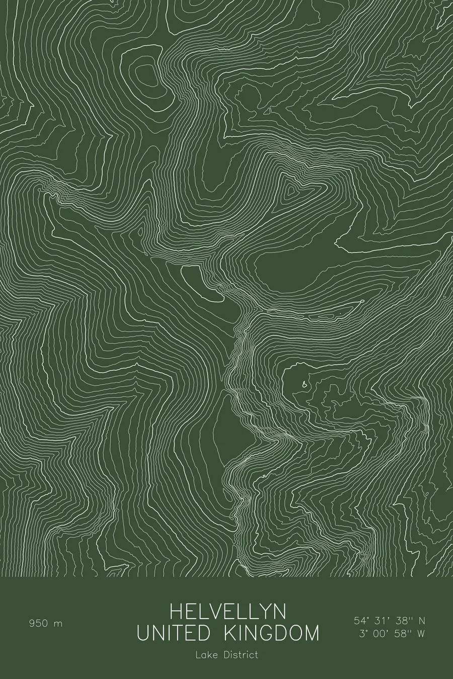
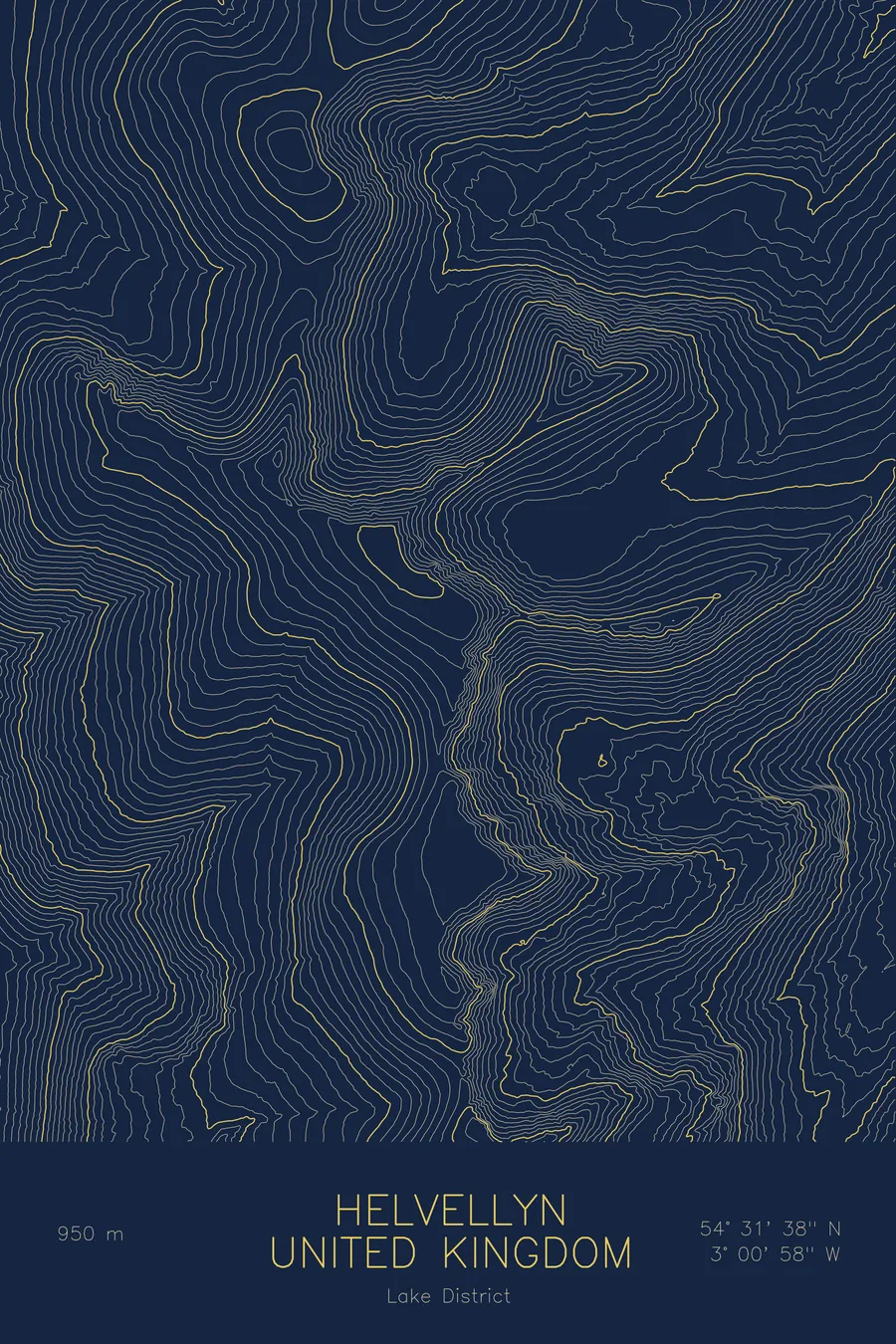
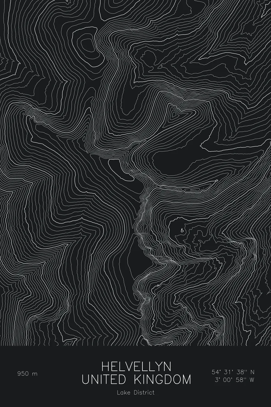
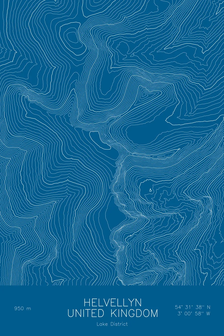
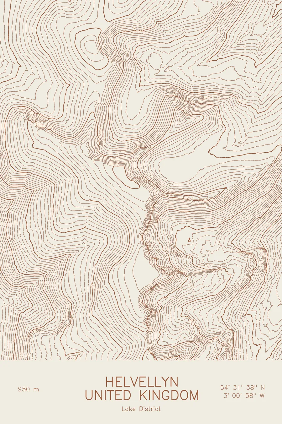
A pen-plotted topographic map of Helvellyn in the Lake District, United Kingdom, drawn from real elevation contour data.
Third-highest peak in England, Striding Edge. 3,117 feet above sea level.
$54
Ink & paper: Blue
Size: 12×18"
+Personalize this map
+ Details
- 12 × 18 inches
- Drawn on 98 lb (160 gsm) archival cotton paper
- Precision technical pens and archival inks
- Signed and dated on the back
- Ships flat, protected, ready to frame
Each map begins with elevation data and is drawn by a pen plotter in our Vermont studio. Mechanical precision, plus the texture and small imperfections of real ink on paper.
Off the screen
In real rooms



















+ About this map
Helvellyn rises to 3,117 feet (950 metres) in the English Lake District, the third-highest peak in England and the most climbed of the big Lakeland fells. Its fame rests on Striding Edge, the narrow rock arête that leads to the summit from the east, and on the round hollow of Red Tarn cupped between Striding Edge and its twin, Swirral Edge. The summit is a broad, flat plateau that gives no hint of the drops on its eastern side.
This map shows a mountain with two faces. To the west, above Thirlmere, the contour lines fall in smooth, even slopes. To the east, they break into the tight, angular pattern of the glacial coves, with Striding and Swirral edges standing out as two narrow ridges enclosing the tarn. The elevation on this sheet runs from about 850 feet in the valleys to the summit, and nearly all the steepness is on one side.
+ Map details
- Helvellyn
- United Kingdom
- Lake District
- Lake District
- 3,117 ft / 950 m
- 54.5272N 3.0161W
- Mountain topographic map
- Original pen plot, archival ink on cotton paper
- 8 × 12 in · 12 × 18 in · 18 × 24 in
- Third-highest peak in England, Striding Edge
More maps