New Hampshire
Lake Sunapee
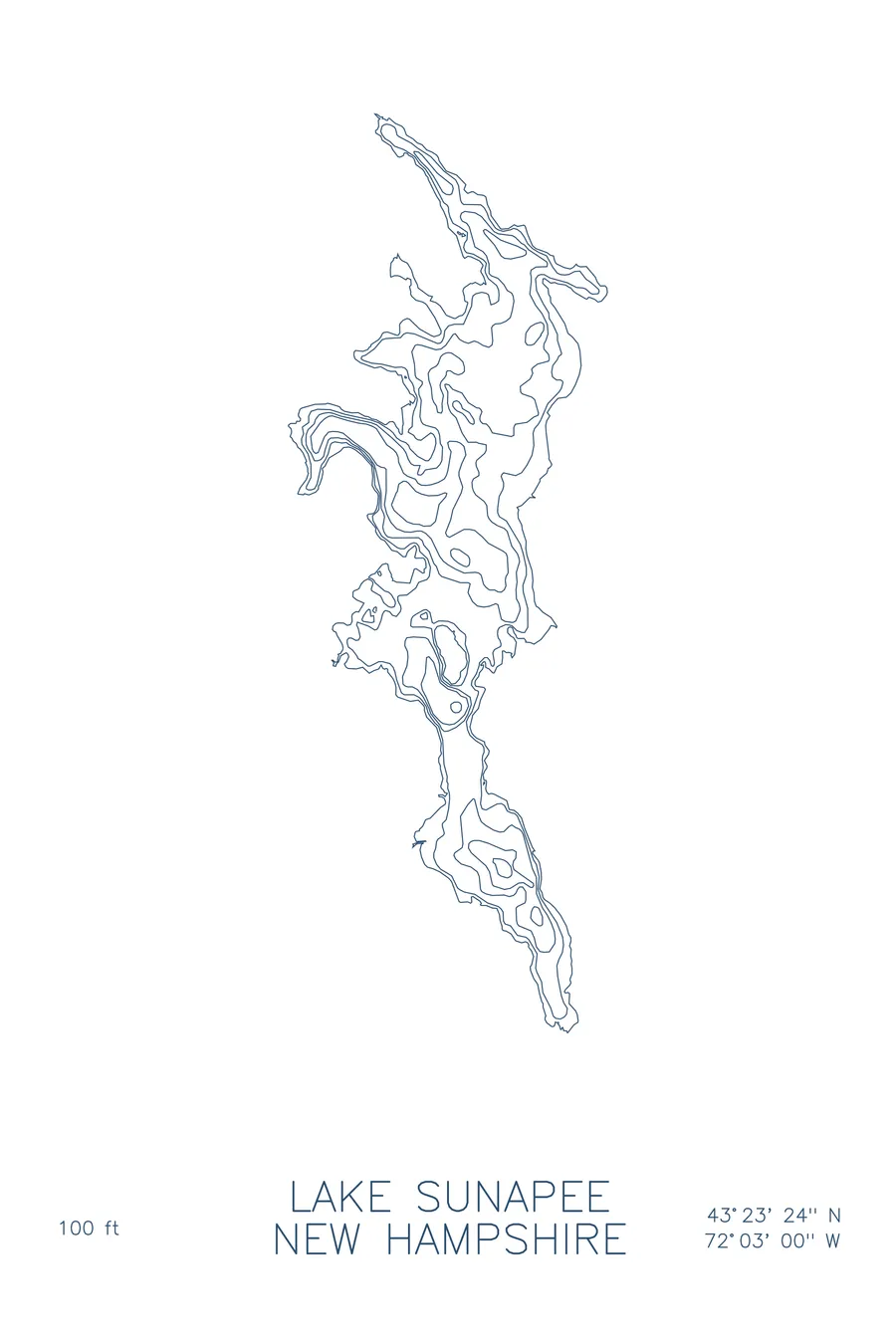
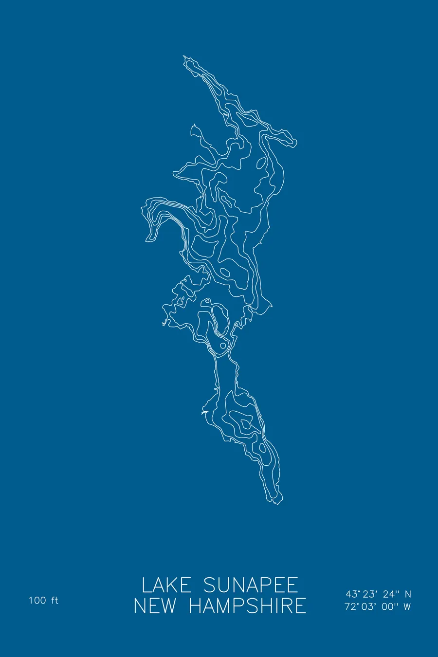
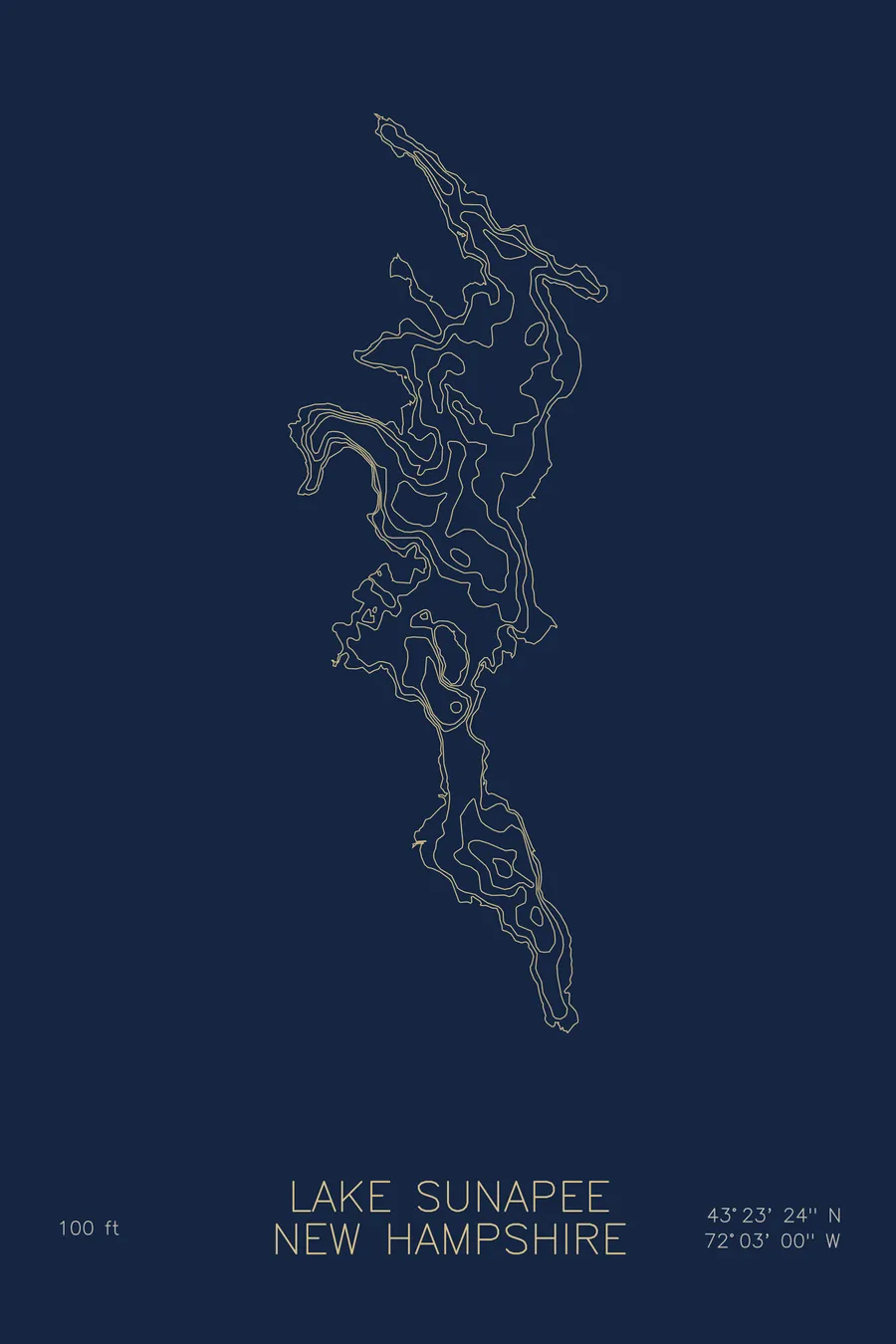
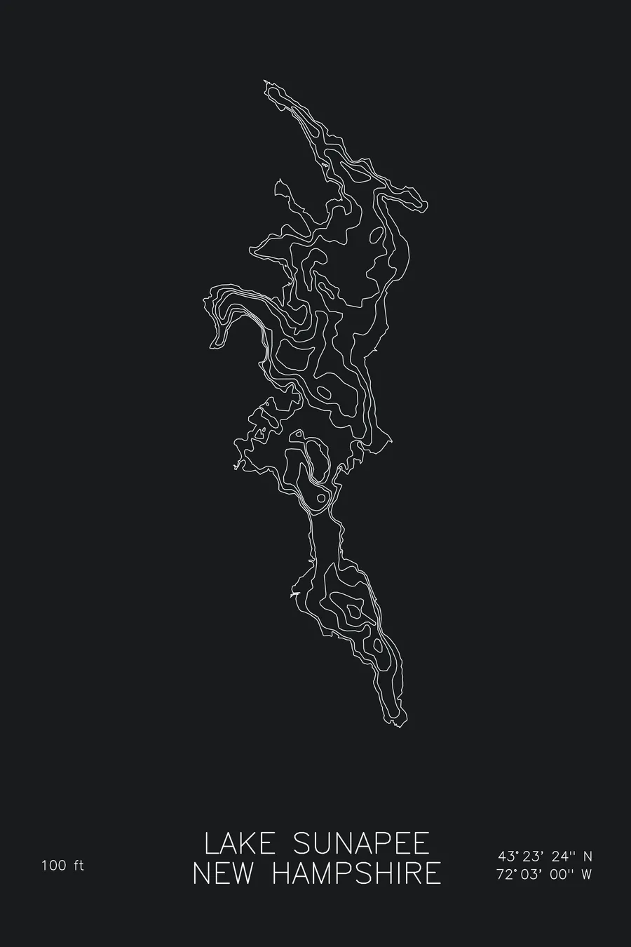
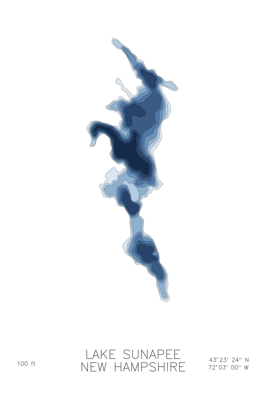
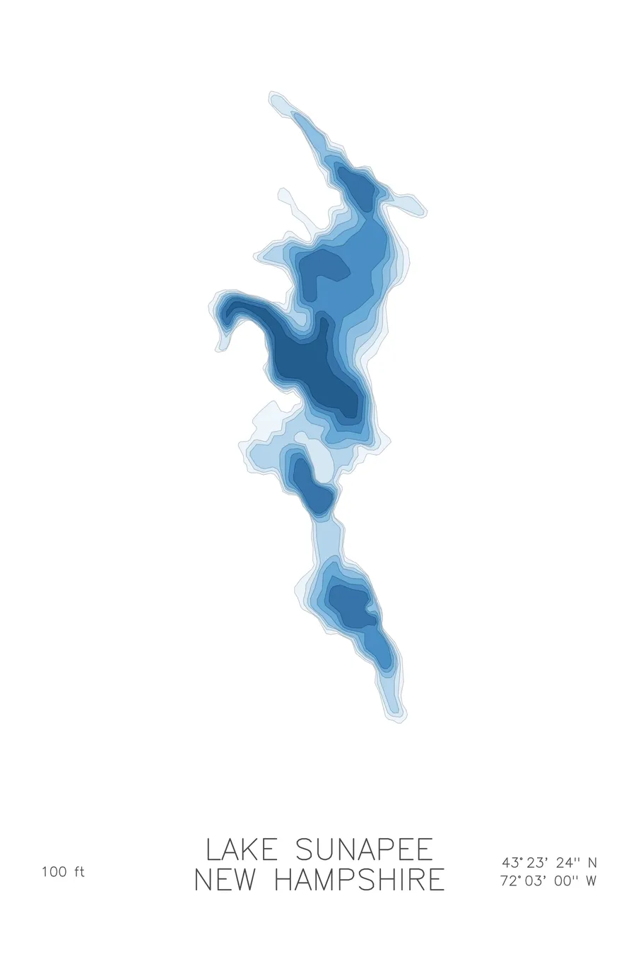
A bathymetric depth map of Lake Sunapee, New Hampshire, drawn from real lake survey data in a minimalist contour-line design.
Max depth 100 ft.
$50
Ink & paper: Lake Blue
Size: 12×18"
+Personalize this map
+ Details
- 12 × 18 inches
- Drawn on 98 lb (160 gsm) archival cotton paper
- Precision technical pens and archival inks
- Signed and dated on the back
- Ships flat, protected, ready to frame
Each map begins with elevation data and is drawn by a pen plotter in our Vermont studio. Mechanical precision, plus the texture and small imperfections of real ink on paper.
Off the screen
In real rooms



















+ About this map
Lake Sunapee lies in the hills of western New Hampshire, a clear glacial lake with Mount Sunapee rising at its southern end. Its shoreline collects the harbors of Sunapee, Georges Mills, and Newbury, and three small lighthouses still mark its waters, a legacy of the steamboat era when the lake was a fashionable summer resort.
The depth contours trace a long, island-dotted basin that reaches 100 feet at its deepest. The map shows the main body falling away in steady rings, the tighter lines where rocky points continue underwater, and the shoals around Great Island and its neighbors that the lighthouses were built to guard. At the ends of the lake the contours relax into shallow, protected harbors, the same quiet water that has anchored its villages for more than a century.
+ Map details
- Lake Sunapee
- New Hampshire
- United States
- New England
- 43.3900N 72.0500W
- Lake bathymetric depth map
- Original pen plot, archival ink on cotton paper
- 8 × 12 in · 12 × 18 in · 18 × 24 in
- Max depth 100 ft
More maps