New Hampshire
Ossipee Lake
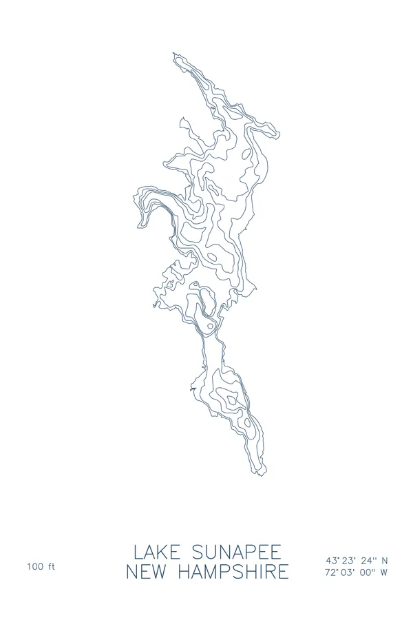
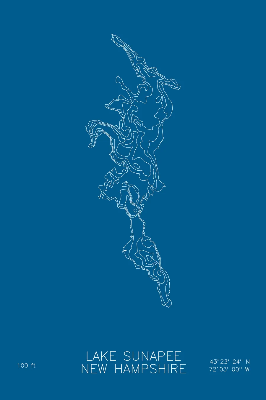
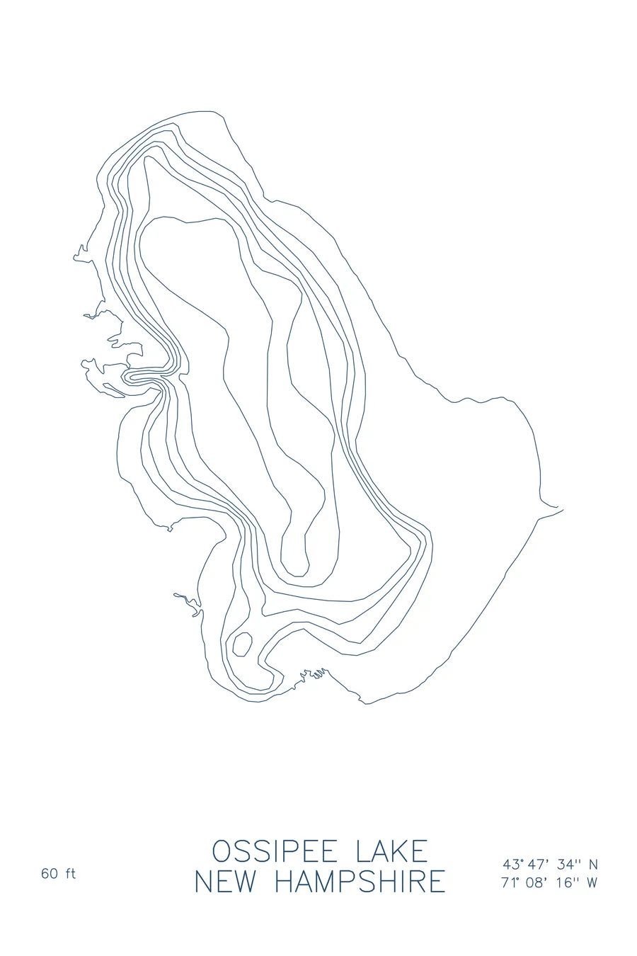
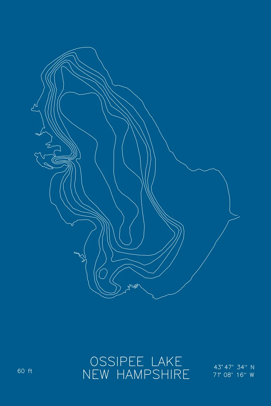
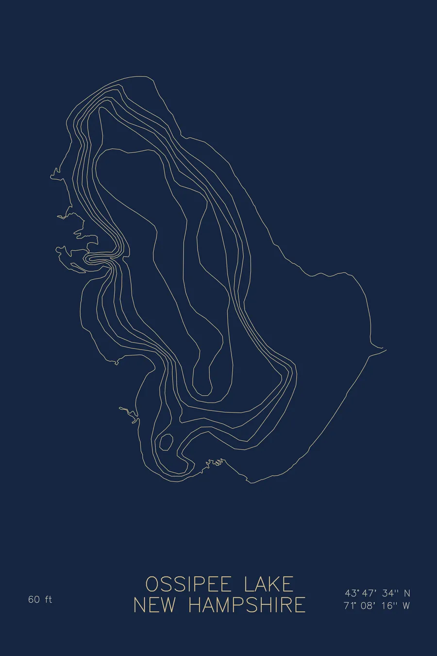
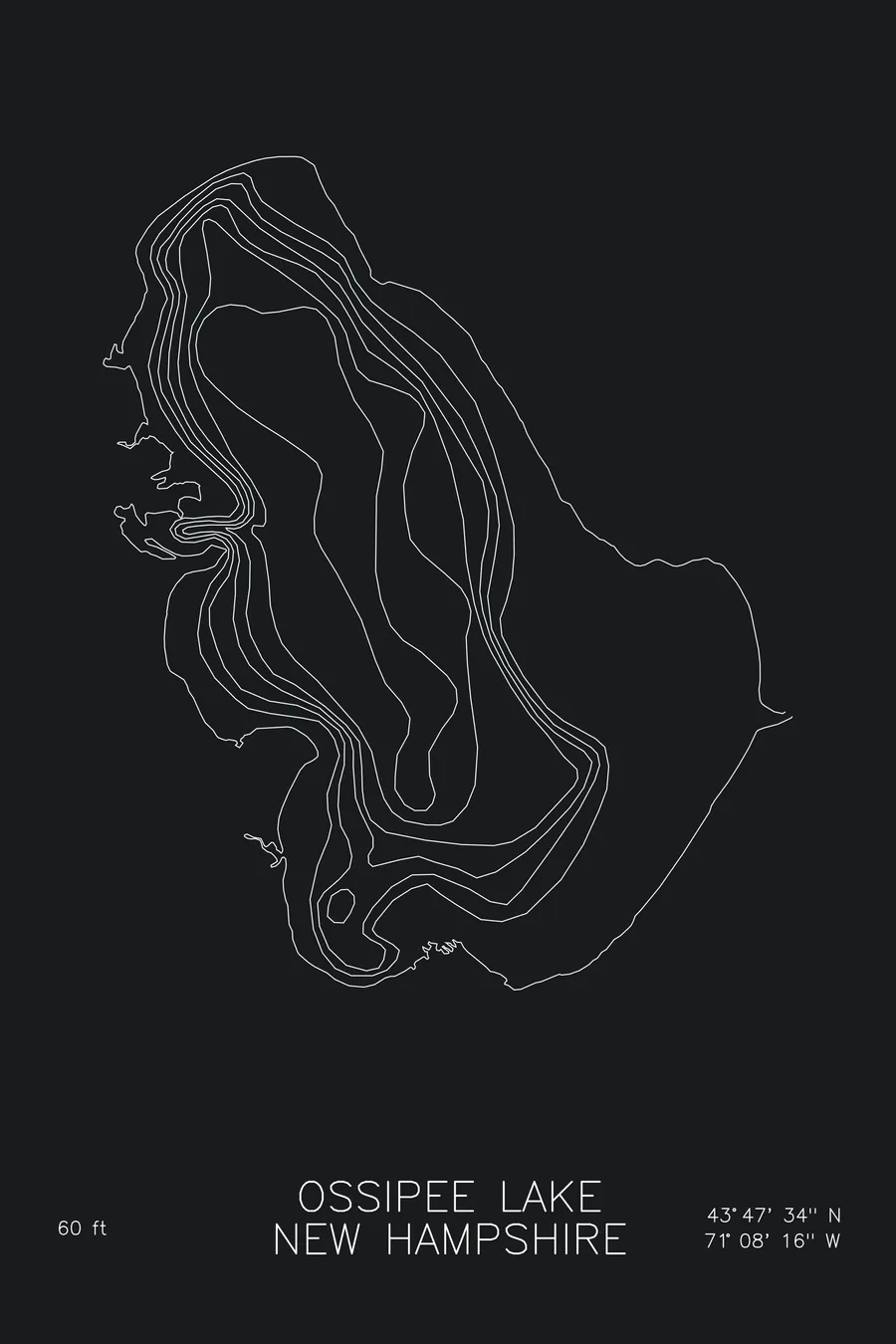
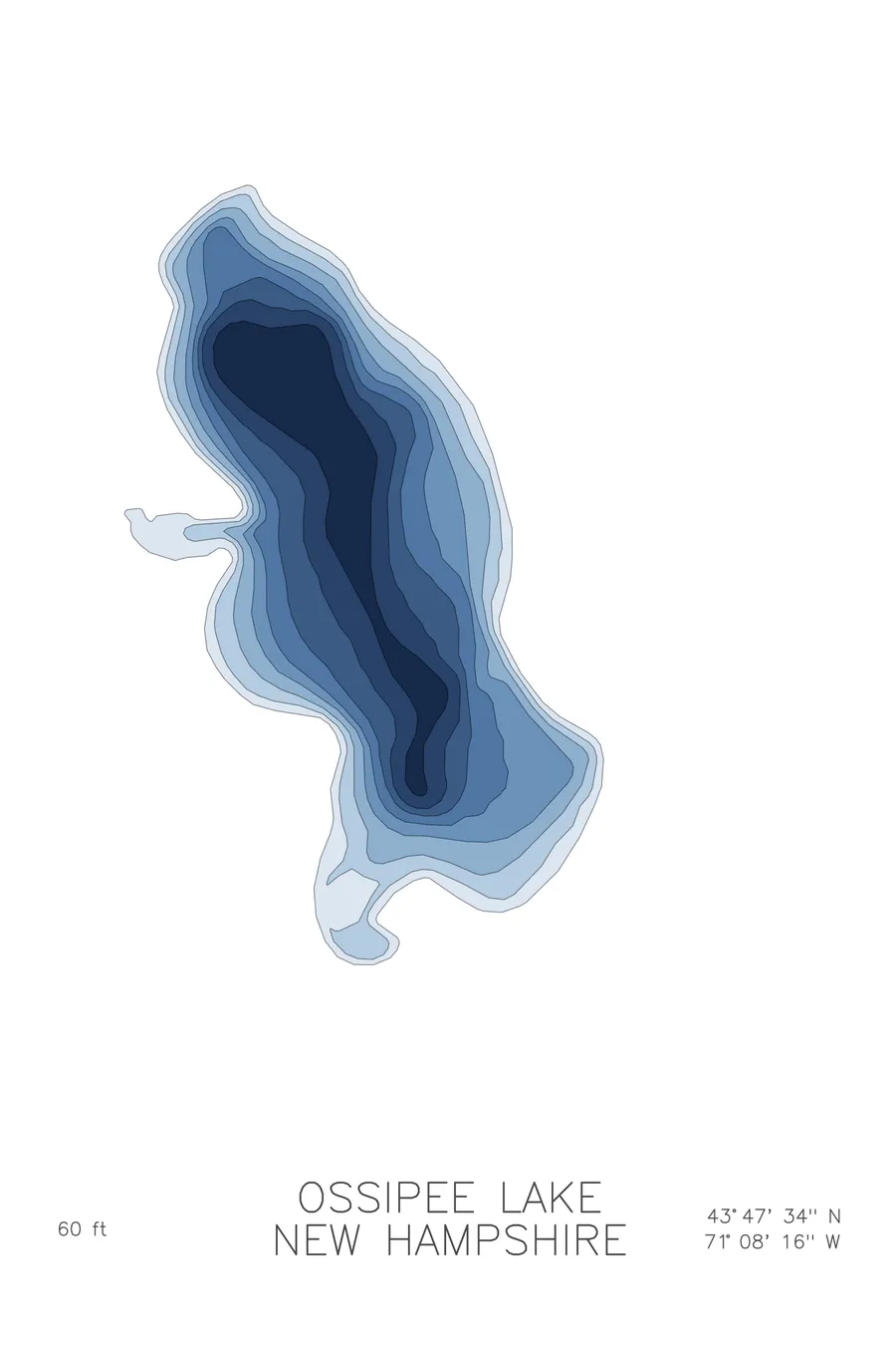
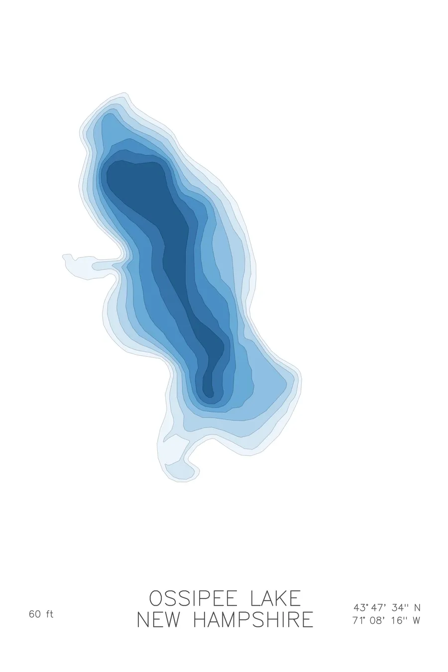
A bathymetric depth map of Ossipee Lake, New Hampshire, drawn from real lake survey data in a minimalist contour-line design.
Max depth 60 ft.
$50
Ink & paper: Lake Blue
Size: 12×18"
+Personalize this map
+ Details
- 12 × 18 inches
- Drawn on 98 lb (160 gsm) archival cotton paper
- Precision technical pens and archival inks
- Signed and dated on the back
- Ships flat, protected, ready to frame
Each map begins with elevation data and is drawn by a pen plotter in our Vermont studio. Mechanical precision, plus the texture and small imperfections of real ink on paper.
Off the screen
In real rooms



















+ About this map
Ossipee Lake spreads across east-central New Hampshire near the towns of Ossipee and Freedom, in the sandy lowlands below the Ossipee Mountains. It is a lake of about 3,000 acres known for its sand-bottomed shallows and warm summer water, with a cluster of connected bays, Broad, Leavitt, and Berry among them, reaching off the main basin through narrow channels.
The depth contours show that layout clearly. The main lake carries the deep water, its lines closing around a basin that reaches about 60 feet, while the bays spread wide and shallow, joined to the lake by threads of channel. The map traces the whole system, open water at the center and quiet coves stitched around its edges.
+ Map details
- Ossipee Lake
- New Hampshire
- United States
- New England
- 43.7928N 71.1378W
- Lake bathymetric depth map
- Original pen plot, archival ink on cotton paper
- 8 × 12 in · 12 × 18 in · 18 × 24 in
- Max depth 60 ft
More maps