Vermont
Mount Ellen
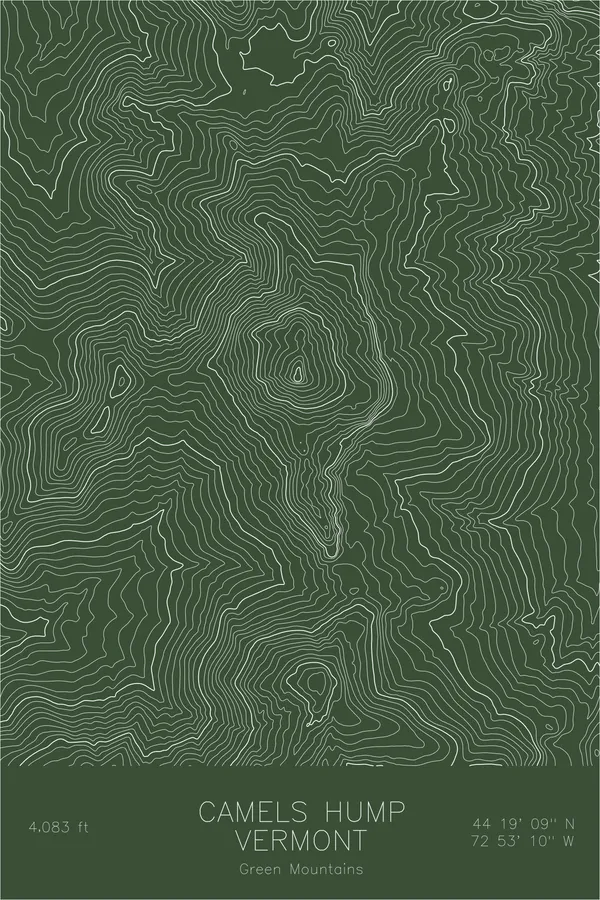
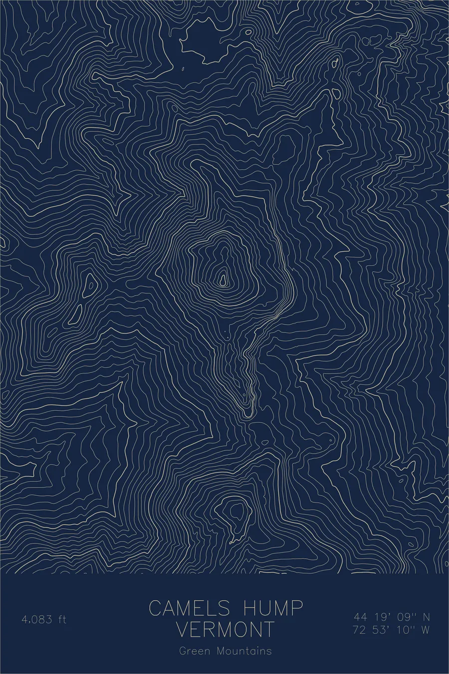
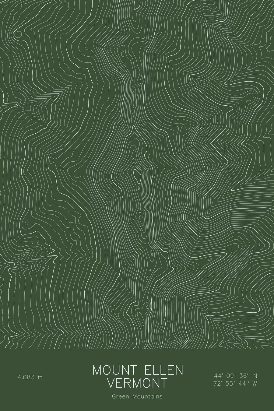
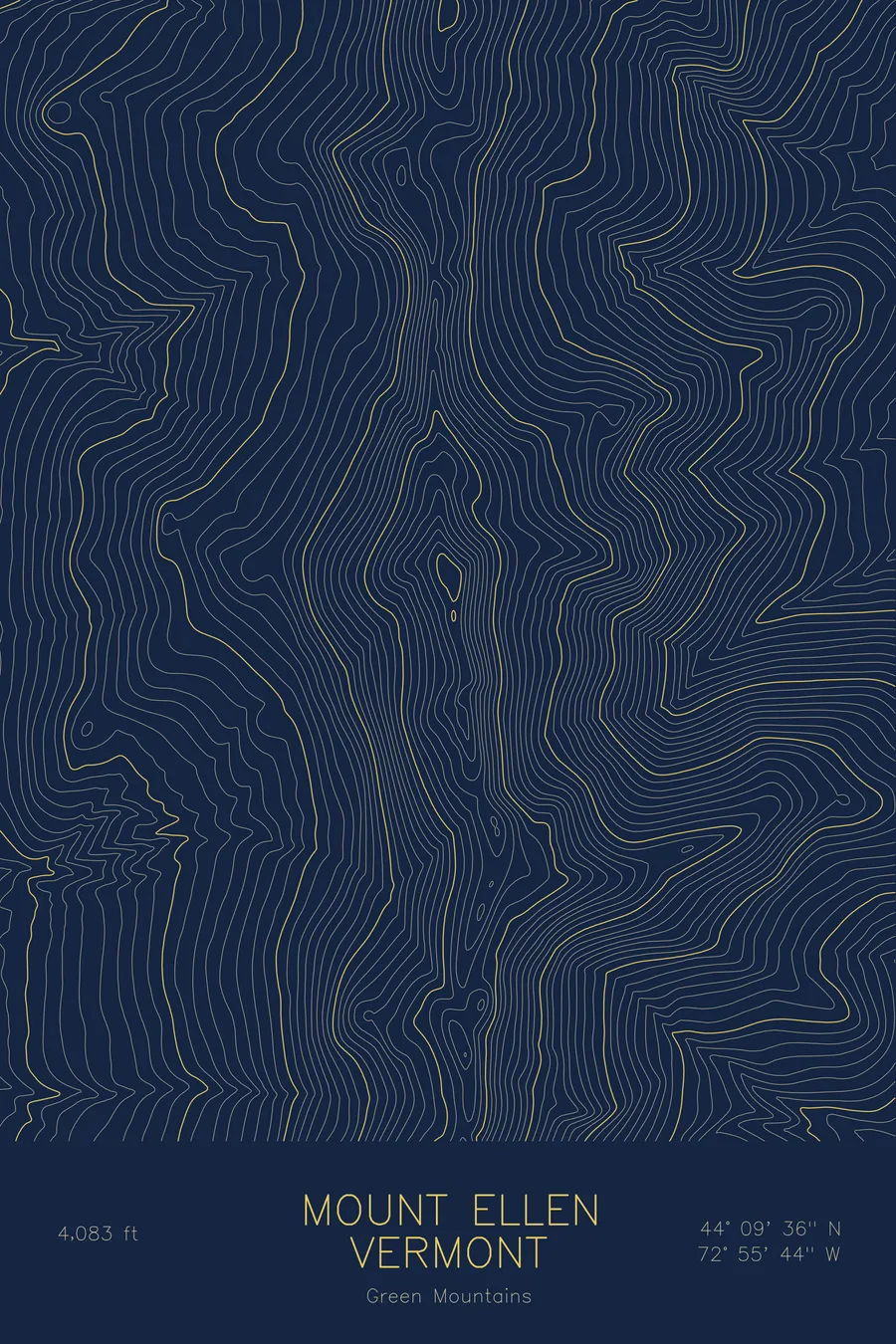
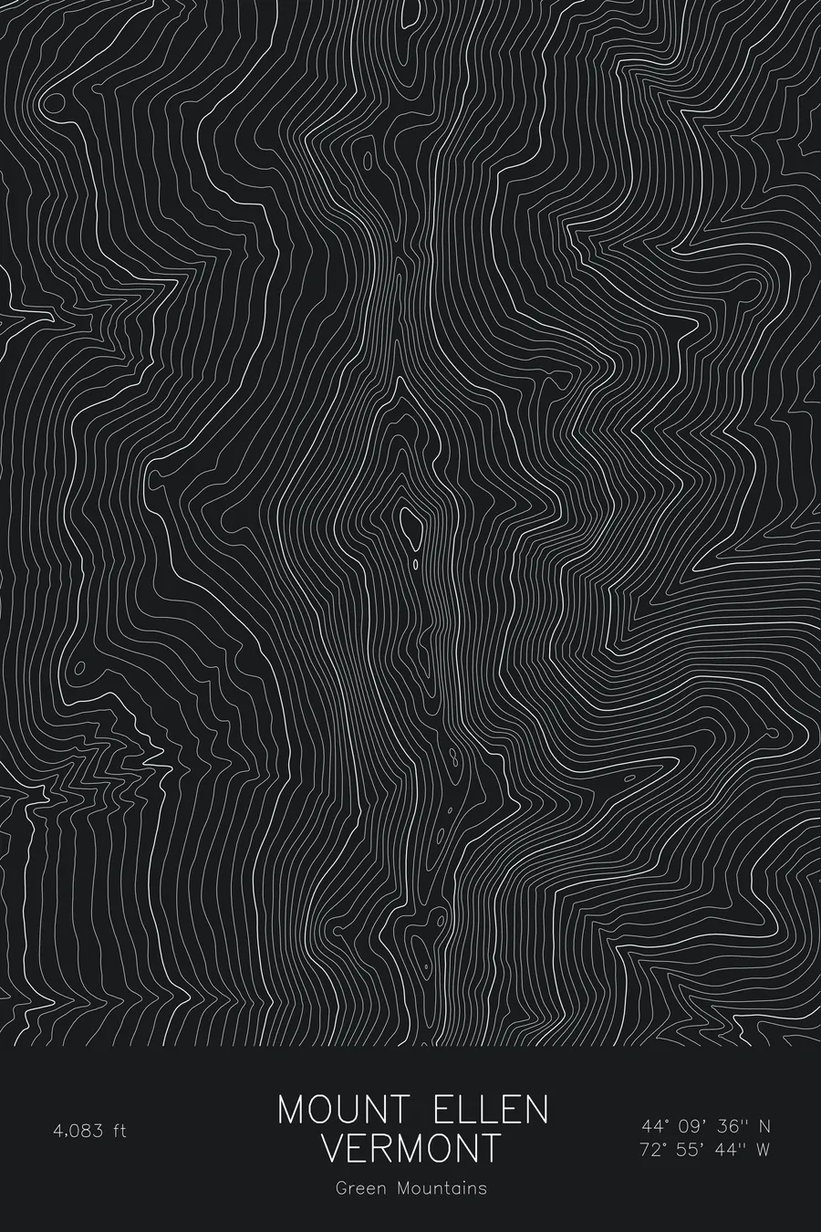
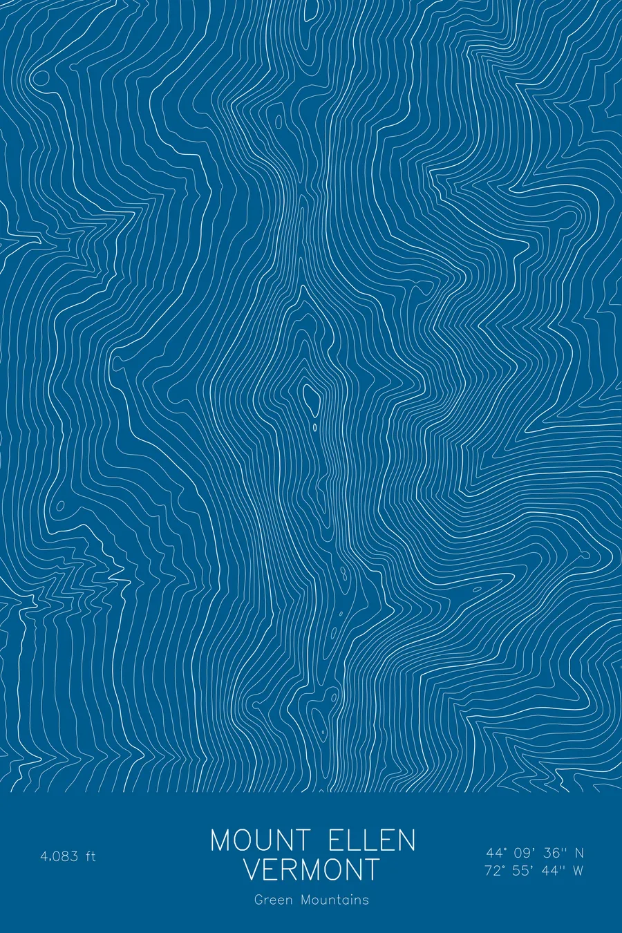
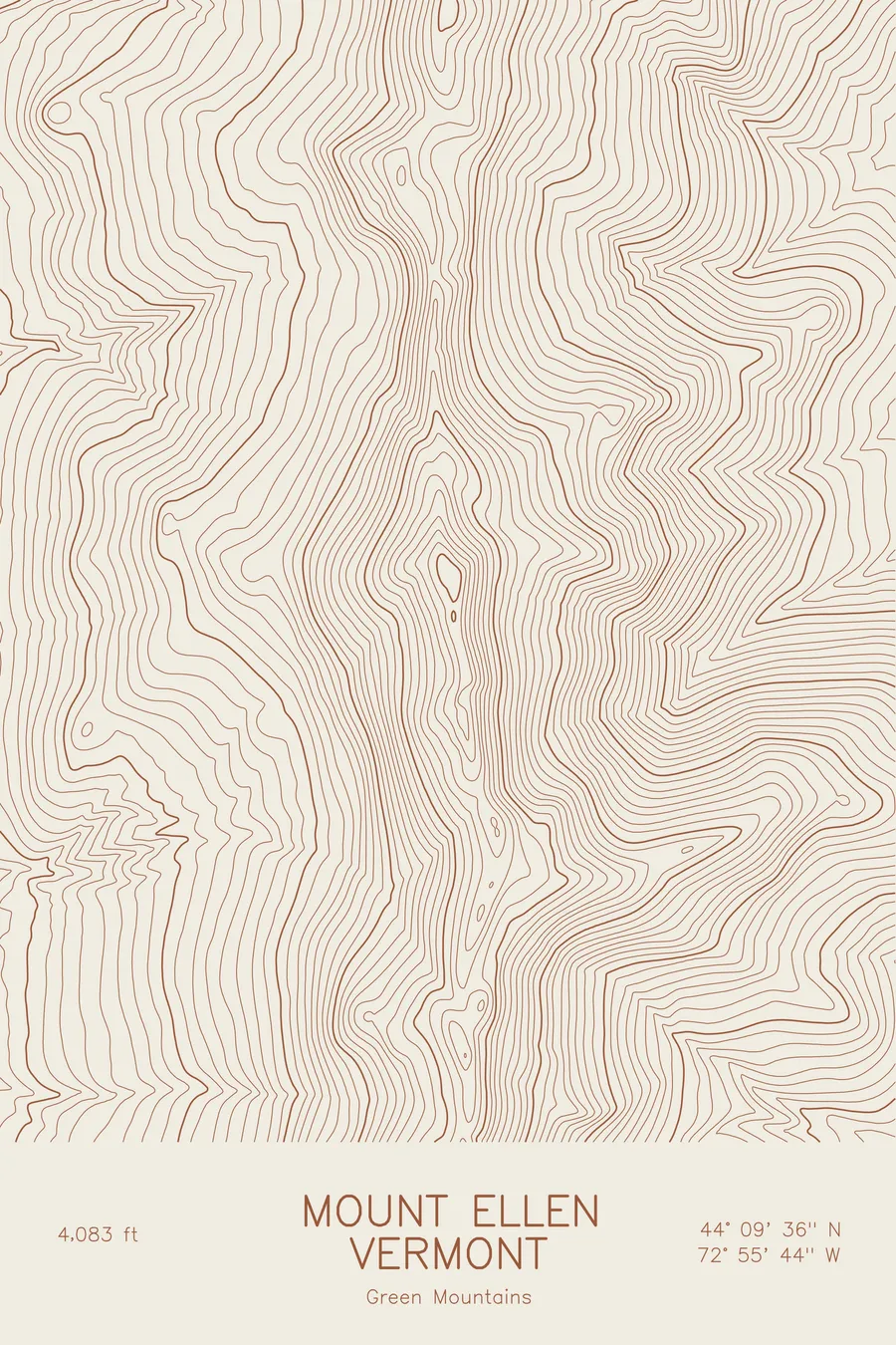
A pen-plotted topographic map of Mount Ellen in the Green Mountains, Vermont, drawn from real elevation contour data.
Third-highest peak in Vermont, on the Long Trail above Sugarbush. 4,083 feet above sea level.
$54
Ink & paper: Blue
Size: 12×18"
+Personalize this map
+ Details
- 12 × 18 inches
- Drawn on 98 lb (160 gsm) archival cotton paper
- Precision technical pens and archival inks
- Signed and dated on the back
- Ships flat, protected, ready to frame
Each map begins with elevation data and is drawn by a pen plotter in our Vermont studio. Mechanical precision, plus the texture and small imperfections of real ink on paper.
Off the screen
In real rooms



















+ About this map
Mount Ellen rises to 4,083 feet in Vermont’s Green Mountains, tied with Camel’s Hump as the third-highest summit in the state. The Long Trail runs directly over the top, and the peak forms the northern end of the Sugarbush ski area, whose lifts climb its eastern flank from the Mad River Valley. Unlike Mansfield and Camel’s Hump, the summit is wooded, so the views come from the ski trails rather than the top itself.
This map traces a classic Green Mountain ridgeline: a long, narrow crest running north to south with the terrain falling away on both sides. The contour lines run in close parallel bands down the east face toward the Mad River, where the ski trails are cut, and drop more gradually to the west toward the Champlain Valley lowlands. Within this frame the terrain covers about 2,600 feet, and the even spacing of the contours reflects the smooth, forested slopes of the range rather than cliffs or cirques.
+ Map details
- Mount Ellen
- Vermont
- United States
- Green Mountains
- Green Mountains
- 4,083 ft / 1,244 m
- 44.1601N 72.9289W
- Mountain topographic map
- Original pen plot, archival ink on cotton paper
- 8 × 12 in · 12 × 18 in · 18 × 24 in
- Third-highest peak in Vermont, on the Long Trail above Sugarbush
More maps